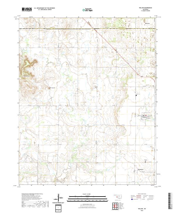
2022 Map of Willow
USGS Topo · Published 2022About this map
The town of Willow serves as the central hub of this southwestern Oklahoma landscape, positioned near the boundary between Beckham Co and Greer Co. The area is defined by a grid of rural roads and the drainage patterns of Haystack Cr and Lake Cr. To the west, the terrain rises significantly at Haystack Mtn and a prominent feature simply labeled The Haystack, breaking the otherwise steady agricultural layout of the region.
Find a feature on this map
38 named features on this map. Tap any name to fly to it.
Don’t see what you’re looking for? This feature index may not catch every label — zoom into the map to look around manually.
Map Details
Editions of this 2022 Willow Map
This is the sole edition of this map. No revisions or reprints were ever made.
Other maps of this area

1955 · Lawton
USGS Topo · 1:250,000

1955 · Clinton
USGS Topo · 1:250,000

1957 · Clinton
USGS Topo · 1:250,000

1961 · Willow
USGS Topo · 1:62,500

1961 · Retrop
USGS Topo · 1:62,500

1971 · Mangum North
USGS Topo · 1:24,000

1971 · Granite
USGS Topo · 1:24,000

1971 · Reed
USGS Topo · 1:24,000

1985 · Elk City
USGS Topo · 1:100,000

1985 · Altus
USGS Topo · 1:100,000