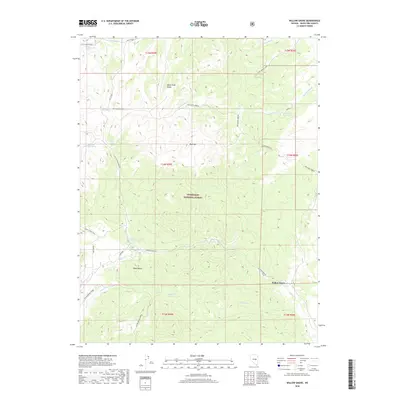
2018 Map of Willow Grove
USGS Topo · Published 2018About this map
Humboldt National Forest encompasses much of this high-altitude landscape, where the peaks of the White Pine Range and Bald Mtn dominate the horizon. In this arid environment, water is the primary architect of movement, with human paths and livestock resources centered around vital points like Circle Wash Spring, Mustang Spring, and Deadman Reservoir. The mapping of small springs such as Easter Springs and Trail Spring underscores the critical importance of reliable water sources for cattle ranching and survival in the Great Basin.
Find a feature on this map
32 named features on this map. Tap any name to fly to it.
Don’t see what you’re looking for? This feature index may not catch every label — zoom into the map to look around manually.
Map Details
Editions of this 2018 Willow Grove Map
This is the sole edition of this map. No revisions or reprints were ever made.
Other maps of this area

1949 · Treasure Hill
USGS Topo · 1:62,500

1950 · Treasure Hill
USGS Topo · 1:62,500

1956 · Lund
USGS Topo · 1:250,000

1956 · Ely
USGS Topo · 1:250,000

1957 · Currant Mtn
USGS Topo · 1:62,500

1959 · Ely
USGS Topo · 1:250,000

1959 · Preston Reservoir
USGS Topo · 1:62,500

1960 · Lund
USGS Topo · 1:250,000

1963 · Ely
USGS Topo · 1:250,000

1964 · Currant Mtn
USGS Topo · 1:62,500