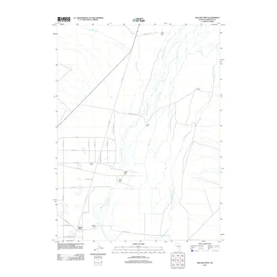
2011 Map of Willow Point
USGS Topo · Published 2011About this map
The Little Humboldt River and its accompanying wetlands dominate the eastern landscape of this Humboldt County quadrangle, where a network of family ranching operations defines the local geography. Established sites such as Willow Point and the Godchaux Ranch anchor the southern portion of the sheet, while the northern expanse is marked by Wash O'Neal Ranch and Home Ranch. The drainage systems of Martin Creek and Big Cottonwood Creek create a north-south grain across the valley, supporting agricultural activity facilitated by the Lyng Ditch. A distinctive grid of roads with thematic names like Shotgun Rd, Musket Dr, and Cannonball Dr suggests a planned residential or recreational division west of the primary ranching corridor. This 2011 survey captures the area's transition between traditional rangeland and contemporary land use, including the proximity of the Gerhard Miller Ranch and Elmer Miller Ranch near the center of the valley floor.
Find a feature on this map
33 named features on this map. Tap any name to fly to it.
Don’t see what you’re looking for? This feature index may not catch every label — zoom into the map to look around manually.
Map Details
Editions of this 2011 Willow Point Map
This is the sole edition of this map. No revisions or reprints were ever made.
Other maps of this area

1882 · Paradise
USGS Topo · 1:250,000

1893 · Paradise
USGS Topo · 1:250,000

1945 · Osgood Mountains
USGS Topo · 1:62,500

1945 · Hot Springs
USGS Topo · 1:62,500

1947 · Osgood Mountains
USGS Topo · 1:62,500

1947 · Hot Springs Peak
USGS Topo · 1:62,500

1955 · McDermitt
USGS Topo · 1:250,000

1958 · Paradise Valley
USGS Topo · 1:62,500

1959 · McDermitt
USGS Topo · 1:250,000

1959 · Bliss
USGS Topo · 1:62,500