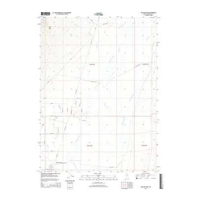
2015 Map of Willow Point
USGS Topo · Published 2015About this map
The Santa Rosa Range anchors the northwest corner of this Nevada landscape, where the terrain transitions into the high desert plains of Humboldt County. The area is defined by a series of south-flowing drainage systems, including Woodman Cr and Big Cottonwood Cr, which eventually meet the Little Humboldt River. Near the settlement of Willow Point, a distinct grid of residential roads like Paradise Ranchos Dr and Godchaux Rd indicates modern rural development amidst older ranching lands. Many of these roads bear firearm-themed names, such as Savage Dr, Colt Dr, and Magnum Dr, creating a unique local nomenclature. Further east, the Lung Ditch and Martin Cr highlight the historical importance of water management in this arid environment, supporting the agricultural life along Grayson Ranch Rd.
Find a feature on this map
33 named features on this map. Tap any name to fly to it.
Don’t see what you’re looking for? This feature index may not catch every label — zoom into the map to look around manually.
Map Details
Editions of this 2015 Willow Point Map
This is the sole edition of this map. No revisions or reprints were ever made.
Other maps of this area

1882 · Paradise
USGS Topo · 1:250,000

1893 · Paradise
USGS Topo · 1:250,000

1945 · Osgood Mountains
USGS Topo · 1:62,500

1945 · Hot Springs
USGS Topo · 1:62,500

1947 · Osgood Mountains
USGS Topo · 1:62,500

1947 · Hot Springs Peak
USGS Topo · 1:62,500

1955 · McDermitt
USGS Topo · 1:250,000

1958 · Paradise Valley
USGS Topo · 1:62,500

1959 · McDermitt
USGS Topo · 1:250,000

1959 · Bliss
USGS Topo · 1:62,500