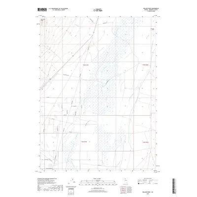
2018 Map of Willow Point
USGS Topo · Published 2018About this map
Paradise Valley sits at the eastern edge of this Humboldt County basin, where the high slopes of the Santa Rosa Range descend into a complex network of seasonal watercourses and irrigation channels. The landscape is defined by the convergence of the Little Humboldt River and its various tributaries, including Martin Cr and Big Cottonwood Cr. The map reveals a land managed for ranching and agriculture, evidenced by the Lyng Ditch and a series of rural routes with names that reflect the region's character, such as Grayson Ranch Rd and Godchaux Rd. The road network—featuring thematic names like Mauser Dr, Buckshot Rd, and Shotgun Dr—suggests more recent residential development patterns laid over the older, wide-open grazing allotments of the Great Basin.
Find a feature on this map
31 named features on this map. Tap any name to fly to it.
Don’t see what you’re looking for? This feature index may not catch every label — zoom into the map to look around manually.
Map Details
Editions of this 2018 Willow Point Map
This is the sole edition of this map. No revisions or reprints were ever made.
Other maps of this area

1882 · Paradise
USGS Topo · 1:250,000

1893 · Paradise
USGS Topo · 1:250,000

1945 · Osgood Mountains
USGS Topo · 1:62,500

1945 · Hot Springs
USGS Topo · 1:62,500

1947 · Osgood Mountains
USGS Topo · 1:62,500

1947 · Hot Springs Peak
USGS Topo · 1:62,500

1955 · McDermitt
USGS Topo · 1:250,000

1958 · Paradise Valley
USGS Topo · 1:62,500

1959 · McDermitt
USGS Topo · 1:250,000

1959 · Bliss
USGS Topo · 1:62,500