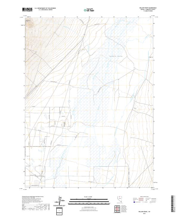
2021 Map of Willow Point
USGS Topo · Published 2021About this map
Paradise Valley dominates the eastern half of this landscape, characterized by the meandering path of the Little Humboldt River and its accompanying wetlands. This low-lying drainage basin is fed by several tributaries descending from the Santa Rosa Range to the northwest, including Woodman Cr and Big Cottonwood Cr. The irrigation and water management patterns of the valley are evidenced by the Lyng Ditch, showing how the natural hydrology of the Great Basin was adapted for local ranching and settlement.
Find a feature on this map
31 named features on this map. Tap any name to fly to it.
Don’t see what you’re looking for? This feature index may not catch every label — zoom into the map to look around manually.
Map Details
Editions of this 2021 Willow Point Map
This is the sole edition of this map. No revisions or reprints were ever made.
Other maps of this area

1882 · Paradise
USGS Topo · 1:250,000

1893 · Paradise
USGS Topo · 1:250,000

1945 · Osgood Mountains
USGS Topo · 1:62,500

1945 · Hot Springs
USGS Topo · 1:62,500

1947 · Osgood Mountains
USGS Topo · 1:62,500

1947 · Hot Springs Peak
USGS Topo · 1:62,500

1955 · McDermitt
USGS Topo · 1:250,000

1958 · Paradise Valley
USGS Topo · 1:62,500

1959 · McDermitt
USGS Topo · 1:250,000

1959 · Bliss
USGS Topo · 1:62,500