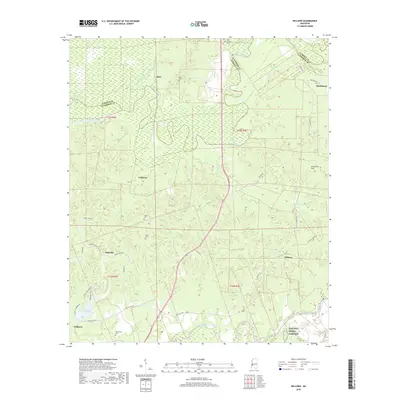
2018 Map of Willows
USGS Topo · Published 2018About this map
The Big Black River snakes along the northern boundary of this landscape, defining the jagged border between Warren and Claiborne Counties. This territory is characterized by a series of small, dispersed settlements such as Allen, Hankinson, and Willows, many of which are connected by a network of historic thoroughfares like Old Hwy 61 and Old Port Gibson Rd. The geography reflects a deeply rooted community structure, evidenced by numerous family and church burial grounds including Allen Cem, Old Savoy Cem, and Shiloh Cem.
Find a feature on this map
46 named features on this map. Tap any name to fly to it.
Don’t see what you’re looking for? This feature index may not catch every label — zoom into the map to look around manually.
Map Details
Editions of this 2018 Willows Map
This is the sole edition of this map. No revisions or reprints were ever made.
Other maps of this area

1939 · Yokena
USGS Topo · 1:62,500

1939 · Lorman
USGS Topo · 1:62,500

1953 · Natchez
USGS Topo · 1:250,000

1955 · Jackson
USGS Topo · 1:250,000

1956 · Natchez
USGS Topo · 1:250,000

1958 · St. Joseph
USGS Topo · 1:62,500

1959 · Natchez
USGS Topo · 1:250,000

1961 · Jackson
USGS Topo · 1:250,000

1962 · Jackson
USGS Topo · 1:250,000

1963 · Carlisle
USGS Topo · 1:24,000