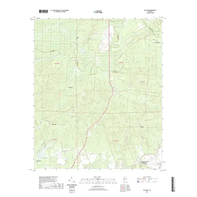
2020 Map of Willows
USGS Topo · Published 2020About this map
Big Black River meanders through the heart of this landscape, forming the winding boundary between Warren and Claiborne counties. This modern topographic study reveals a rural Mississippi interior where small settlements like Willows and Hankinson are connected by a network of local roads such as Willow Rd and Old Port Gibson Rd. The terrain is defined by the Scutchillo Hills and numerous watercourses, including Gunn Bayou and Drakes Bayou, which feed into the primary river systems. Family and community history is preserved in several burial grounds across the area, including Old Savoy, Allen, and Shiloh cemeteries. Of particular note is the Natchez Trace Parkway cutting through the southeastern corner, while the western edge reaches toward the waters of Lake Claiborne.
Find a feature on this map
43 named features on this map. Tap any name to fly to it.
Don’t see what you’re looking for? This feature index may not catch every label — zoom into the map to look around manually.
Map Details
Editions of this 2020 Willows Map
This is the sole edition of this map. No revisions or reprints were ever made.
Other maps of this area

1939 · Yokena
USGS Topo · 1:62,500

1939 · Lorman
USGS Topo · 1:62,500

1953 · Natchez
USGS Topo · 1:250,000

1955 · Jackson
USGS Topo · 1:250,000

1956 · Natchez
USGS Topo · 1:250,000

1958 · St. Joseph
USGS Topo · 1:62,500

1959 · Natchez
USGS Topo · 1:250,000

1961 · Jackson
USGS Topo · 1:250,000

1962 · Jackson
USGS Topo · 1:250,000

1963 · Carlisle
USGS Topo · 1:24,000