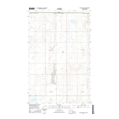
2017 Map of Willshaw Flats
USGS Topo · Published 2017About this map
Willshaw Flats characterizes the open landscape of northern Toole County, where the United States border meets the Canadian province of Alberta. This 2017 survey reflects the persistent grid of the Public Land Survey System, with township and range lines such as t37n r2w and t36n r1w defining the administrative geography of this high plains region. The terrain is marked by seasonal wetlands and a network of gravel and section-line roads that facilitate movement across the agricultural and ranching interior. Along the southern edge of the sheet, the Sunburst Cem serves as a local landmark near the intersection of Co Rd 552 and Dewald Rd. Key transportation corridors like Three Mile Rd and Iverson Rd connect the isolated homesteads and ranch lands to the larger regional network, illustrating the sparse but organized settlement pattern of the Montana borderlands.
Find a feature on this map
20 named features on this map. Tap any name to fly to it.
Don’t see what you’re looking for? This feature index may not catch every label — zoom into the map to look around manually.
Map Details
Editions of this 2017 Willshaw Flats Map
This is the sole edition of this map. No revisions or reprints were ever made.
Other maps of this area

1939 · Sunburst
USGS Topo · 1:62,500

1945 · West Butte
USGS Topo · 1:62,500

1954 · Shelby
USGS Topo · 1:250,000

1958 · Shelby
USGS Topo · 1:250,000

1984 · Sweet Grass Hills
USGS Topo · 1:100,000
1986 · Ferdig
USGS Topo · 1:24,000
1986 · Sunburst
USGS Topo · 1:24,000
1986 · Willshaw Flats
USGS Topo · 1:24,000
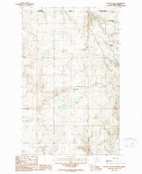
1986 · Beaupre Coulee
USGS Topo · 1:24,000
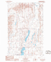
1986 · Kevin North
USGS Topo · 1:24,000