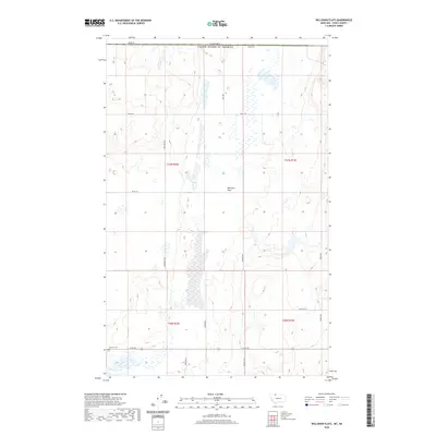
2020 Map of Willshaw Flats
USGS Topo · Published 2020About this map
Willshaw Flats characterizes the open, high-plains landscape of northern Toole County along the international boundary. This map captures the region as it appeared in 2020, defined by the stark demarcation of the Canada United States of America border at the northern edge. The settlement pattern is largely shaped by a grid of rural roads, including Border Rd, Three Mile Rd, and Iverson Rd, which navigate the various coulees and flats of this northern Montana terrain.
Find a feature on this map
17 named features on this map. Tap any name to fly to it.
Don’t see what you’re looking for? This feature index may not catch every label — zoom into the map to look around manually.
Map Details
Editions of this 2020 Willshaw Flats Map
This is the sole edition of this map. No revisions or reprints were ever made.
Other maps of this area

1939 · Sunburst
USGS Topo · 1:62,500

1945 · West Butte
USGS Topo · 1:62,500

1954 · Shelby
USGS Topo · 1:250,000

1958 · Shelby
USGS Topo · 1:250,000

1984 · Sweet Grass Hills
USGS Topo · 1:100,000
1986 · Ferdig
USGS Topo · 1:24,000
1986 · Sunburst
USGS Topo · 1:24,000
1986 · Willshaw Flats
USGS Topo · 1:24,000
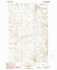
1986 · Beaupre Coulee
USGS Topo · 1:24,000
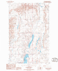
1986 · Kevin North
USGS Topo · 1:24,000