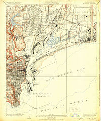
1925 Map of Wilmington
USGS Topo · Published 1931About this map
Wilmington and San Pedro appear here during a transformative era of maritime and industrial expansion along the California coast. The landscape is defined by the heavy engineering of the Los Angeles Harbor, featuring complex infrastructure like the Turning Basin, East Basin, and Slip No 5. The transition from natural wetlands to a modern port is evident in the presence of Bixby Slough and various Salt Ponds alongside the newly carved Cerritos Channel.
Find a feature on this map
47 named features on this map. Tap any name to fly to it.
Don’t see what you’re looking for? This feature index may not catch every label — zoom into the map to look around manually.
Map Details
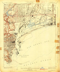
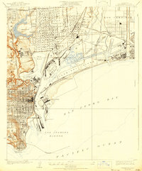
Editions of this 1925 Wilmington Map
3 editions found
Other maps of this area

1896 · Redondo
USGS Topo · 1:62,500

1896 · Las Bolsas
USGS Topo · 1:62,500

1896 · San Pedro
USGS Topo · 1:62,500

1896 · Downey
USGS Topo · 1:62,500

1899 · Downey
USGS Topo · 1:62,500

1901 · Southern California Sheet No. 1
USGS Topo · 1:250,000

1902 · Downey
USGS Topo · 1:62,500

1904 · Southern California Sheet No. 1
USGS Topo · 1:250,000

1923 · Wilmington
USGS Topo · 1:24,000

1924 · Torrance
USGS Topo · 1:24,000