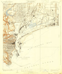
1925 Map of Wilmington
USGS Topo · Published 1931About this map
Industrial expansion and maritime logistics define the southern California coast in the mid-1920s, as shown in this detailed survey of Los Angeles Harbor and the surrounding waterfront. The landscape is a complex network of man-made waterways including the Turning Basin, West Basin, and the engineered Cerritos Channel. Land use is dominated by critical infrastructure such as the Union Oil Refinery and the Southern California Edison Co Power Plant, supported by a dense grid of Southern Pacific and Pacific Electric rail lines that connect the shipping slips to the interior.
Find a feature on this map
43 named features on this map. Tap any name to fly to it.
Don’t see what you’re looking for? This feature index may not catch every label — zoom into the map to look around manually.
Map Details
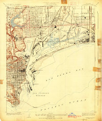
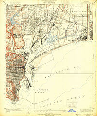
Editions of this 1925 Wilmington Map
3 editions found
Other maps of this area

1896 · Redondo
USGS Topo · 1:62,500

1896 · Las Bolsas
USGS Topo · 1:62,500

1896 · San Pedro
USGS Topo · 1:62,500

1896 · Downey
USGS Topo · 1:62,500

1899 · Downey
USGS Topo · 1:62,500

1901 · Southern California Sheet No. 1
USGS Topo · 1:250,000

1902 · Downey
USGS Topo · 1:62,500

1904 · Southern California Sheet No. 1
USGS Topo · 1:250,000

1923 · Wilmington
USGS Topo · 1:24,000

1924 · Torrance
USGS Topo · 1:24,000