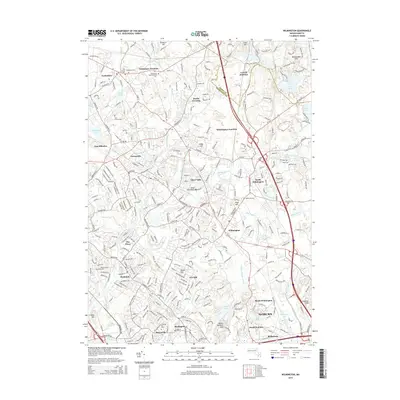
2015 Map of Wilmington
USGS Topo · Published 2015About this map
Wilmington and its surrounding suburban landscape are defined by a complex network of wetlands and small waterways, including the Shawsheen River and Ipswich River. This 2015 survey illustrates the modern residential density of the Middlesex County corridor, where numerous named neighborhoods like Pinehurst, The Pines, and Pattenville have filled in the gaps between older rail-centric hubs. The importance of the rail history is evident in the cluster of junction points, including Tewksbury Junction, Wilmington Junction, and Lowell Junction, which historically served the industrial and transit needs of northeastern Massachusetts.
Find a feature on this map
63 named features on this map. Tap any name to fly to it.
Don’t see what you’re looking for? This feature index may not catch every label — zoom into the map to look around manually.
Map Details
Editions of this 2015 Wilmington Map
This is the sole edition of this map. No revisions or reprints were ever made.
Other maps of this area

1886 · Lawrence
USGS Topo · 1:62,500

1886 · Lowell
USGS Topo · 1:62,500

1886 · Framingham
USGS Topo · 1:62,500

1888 · Lawrence
USGS Topo · 1:62,500

1889 · Framingham
USGS Topo · 1:62,500

1893 · Lowell
USGS Topo · 1:62,500

1893 · Boston
USGS Topo · 1:62,500

1893 · Lawrence
USGS Topo · 1:62,500

1894 · Framingham
USGS Topo · 1:62,500

1903 · Boston
USGS Topo · 1:62,500