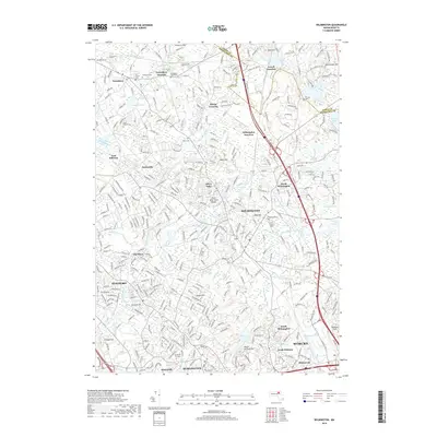
2018 Map of Wilmington
USGS Topo · Published 2018About this map
The Shawsheen River and its numerous tributaries, including Strong Water Brook and Lubbers Brook, define the drainage patterns of this Middlesex County corridor. The landscape is a complex network of rail junctions and suburban settlements, with the Boston and Maine RR serving as a primary transit spine. Key transportation nodes like Tewksbury Junction, Lowell Junction, and Wilmington Junction highlight the area's historical development as a crossroads. For those tracing family histories, the map records several significant burial grounds, from the Old Center Cem and Tewksbury State Cem in the north to the Chestnut Hill Cem near Burlington. Leisure and residential life are anchored by features such as Silver Lake Town Beach and the residential clusters of Pattenville and The Pines.
Find a feature on this map
353 named features on this map. Tap any name to fly to it.
Don’t see what you’re looking for? This feature index may not catch every label — zoom into the map to look around manually.
Map Details
Editions of this 2018 Wilmington Map
This is the sole edition of this map. No revisions or reprints were ever made.
Other maps of this area

1886 · Lawrence
USGS Topo · 1:62,500

1886 · Lowell
USGS Topo · 1:62,500

1886 · Framingham
USGS Topo · 1:62,500

1888 · Lawrence
USGS Topo · 1:62,500

1889 · Framingham
USGS Topo · 1:62,500

1893 · Lowell
USGS Topo · 1:62,500

1893 · Boston
USGS Topo · 1:62,500

1893 · Lawrence
USGS Topo · 1:62,500

1894 · Framingham
USGS Topo · 1:62,500

1903 · Boston
USGS Topo · 1:62,500