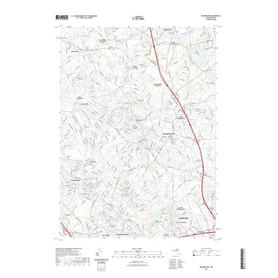
2021 Map of Wilmington
USGS Topo · Published 2021About this map
The Shawsheen River winds through this densely settled corridor of Middlesex County, where rail-and-river history defines the landscape. The geography is anchored by major intersections such as Wilmington Junction and Tewksbury Junction, marking the enduring influence of the Boston and Maine RR on local development. Numerous historical burial sites are scattered throughout the area, including the Old Burial Ground and the Tewksbury State Cem, providing valuable points of reference for genealogists and local historians.
Find a feature on this map
61 named features on this map. Tap any name to fly to it.
Don’t see what you’re looking for? This feature index may not catch every label — zoom into the map to look around manually.
Map Details
Editions of this 2021 Wilmington Map
This is the sole edition of this map. No revisions or reprints were ever made.
Other maps of this area

1886 · Lawrence
USGS Topo · 1:62,500

1886 · Lowell
USGS Topo · 1:62,500

1886 · Framingham
USGS Topo · 1:62,500

1888 · Lawrence
USGS Topo · 1:62,500

1889 · Framingham
USGS Topo · 1:62,500

1893 · Lowell
USGS Topo · 1:62,500

1893 · Boston
USGS Topo · 1:62,500

1893 · Lawrence
USGS Topo · 1:62,500

1894 · Framingham
USGS Topo · 1:62,500

1903 · Boston
USGS Topo · 1:62,500