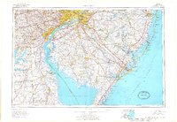
1966 Map of Wilmington
USGS Topo · Published 1968About this map
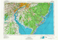
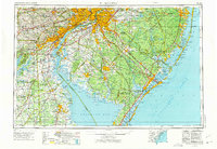
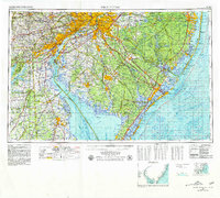
The industrial and maritime corridors of the mid-Atlantic are captured here during a period of significant suburban and infrastructure expansion. The Delaware River serves as the central artery, connecting the urban hubs of Philadelphia, Camden, and Wilmington. To the east, the vast preserved acreage of the Wharton State Forest contrasts with the developing coastline from Atlantic City up to Barnegat Bay. Transportation networks define the landscape, with established routes like the Pennsylvania Railroad and Reading Railroad running alongside modern additions such as the Garden State Pkwy and New Jersey Turnpike. This survey documents the transitional era of the late 1960s, showing the concentration of population centers against the conservation efforts at Bombay Hook National Wildlife Refuge and the marshes of Cumberland Co.
Find a feature on this map
98 named features on this map. Tap any name to fly to it.
Don’t see what you’re looking for? This feature index may not catch every label — zoom into the map to look around manually.
Map Details
Editions of this 1966 Wilmington Map
4 editions found
Other maps of this area

1884 · Sea Isle
USGS Topo · 1:62,500

1884 · Whitings
USGS Topo · 1:62,500

1887 · Atlantic City
USGS Topo · 1:62,500

1888 · Bordentown
USGS Topo · 1:62,500

1888 · Pemberton
USGS Topo · 1:62,500

1888 · Barnegat
USGS Topo · 1:62,500

1888 · Cape May
USGS Topo · 1:62,500

1888 · Dennisville
USGS Topo · 1:62,500

1888 · Little Egg Harbor
USGS Topo · 1:62,500

1888 · Mount Holly
USGS Topo · 1:62,500