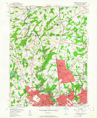
1954 Map of Wilmington North
USGS Topo · Published 1963About this map
Brandywine Creek carves a winding path through the heart of this landscape, separating the residential expansions of northern Wilmington from the pastoral and estate-rich lands of Birmingham and Pennsbury. The map documents a mid-century transition as suburban developments like McDaniel Heights and Fairfax push northward, yet the region's industrial and cultural foundations remain prominently labeled. Landmarks such as the Winterthur Museum and Gardens and the Du Pont Experimental Station represent the significant influence of local industry and legacy on the Delaware-Pennsylvania border.
Find a feature on this map
138 named features on this map. Tap any name to fly to it.
Don’t see what you’re looking for? This feature index may not catch every label — zoom into the map to look around manually.
Map Details
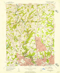
Editions of this 1954 Wilmington North Map
2 editions found
Other maps of this area

1890 · Salem
USGS Topo · 1:62,500

1894 · Chester
USGS Topo · 1:62,500

1896 · Chester
USGS Topo · 1:62,500

1898 · Salem
USGS Topo · 1:62,500

1898 · Chester
USGS Topo · 1:62,500

1901 · Camden
USGS Topo · 1:125,000

1901 · West Chester
USGS Topo · 1:62,500

1904 · West Chester
USGS Topo · 1:62,500

1904 · Wilmington
USGS Topo · 1:62,500

1906 · Wilmington
USGS Topo · 1:62,500