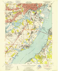
1948 Map of Wilmington South
USGS Topo · Published 1952About this map
The industrial and maritime activity of Wilmington and its southern suburbs is detailed in this mid-century survey, conducted just as the Delaware Memorial Bridge was being integrated into the landscape. Along the Christina River, the complex infrastructure of the Marine Terminal and the Du Pont Dye and Chemical Works reflects the heavy industrial focus of the era. To the west, burgeoning residential developments like Brookland Terrace, Lancaster Village, and Colonial Heights signify the post-war suburban expansion around Elsmere and Newport.
Find a feature on this map
130 named features on this map. Tap any name to fly to it.
Don’t see what you’re looking for? This feature index may not catch every label — zoom into the map to look around manually.
Map Details
Editions of this 1948 Wilmington South Map
2 editions found
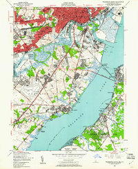
Other maps of this area

1890 · Salem
USGS Topo · 1:62,500

1894 · Chester
USGS Topo · 1:62,500

1896 · Chester
USGS Topo · 1:62,500

1898 · Salem
USGS Topo · 1:62,500

1898 · Chester
USGS Topo · 1:62,500

1901 · Camden
USGS Topo · 1:125,000

1901 · West Chester
USGS Topo · 1:62,500

1904 · West Chester
USGS Topo · 1:62,500

1904 · Wilmington
USGS Topo · 1:62,500

1906 · Wilmington
USGS Topo · 1:62,500