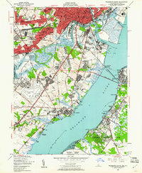
1948 Map of Wilmington South
USGS Topo · Published 1961About this map
Wilmington serves as the industrial and residential anchor of this late 1940s landscape, where dense urban blocks give way to a sprawling network of suburban developments. Settlements like Richardson Park, Elmhurst, and Boxwood illustrate the era's rapid growth along the Christina River and Little Mill Creek. The region is a vital transportation corridor, dominated by the Pennsylvania RR and the Reading RR, which serve the marine terminals and chemical works concentrated along the riverbanks.
Find a feature on this map
118 named features on this map. Tap any name to fly to it.
Don’t see what you’re looking for? This feature index may not catch every label — zoom into the map to look around manually.
Map Details
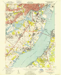
Editions of this 1948 Wilmington South Map
2 editions found
Other maps of this area

1890 · Salem
USGS Topo · 1:62,500

1894 · Chester
USGS Topo · 1:62,500

1896 · Chester
USGS Topo · 1:62,500

1898 · Salem
USGS Topo · 1:62,500

1898 · Chester
USGS Topo · 1:62,500

1901 · Camden
USGS Topo · 1:125,000

1901 · West Chester
USGS Topo · 1:62,500

1904 · West Chester
USGS Topo · 1:62,500

1904 · Wilmington
USGS Topo · 1:62,500

1906 · Wilmington
USGS Topo · 1:62,500