
1968 Map of Wilmore SE
USGS Topo · Published 1970About this map
Glick Oil and Gas Field dominates the northeastern landscape of this 1968 survey, illustrating the mid-century energy production footprint along the Comanche and Barber County line. The terrain is defined by a dense network of watercourses, including the prominent Mule Creek and its tributaries such as Dunlap Creek, Skeleton Creek, and Widow Creek. These drainage patterns carve through the township divisions of Powell and Logan, creating a complex topography of ridges and draws like Baker Canyon. While largely rural and open, the presence of various Gas Wells and a Gravel Pit indicates an economy tied to natural resource extraction. Researchers will find a meticulously detailed representation of land use and hydrology, showing how local ranching and energy interests coexisted just before the 1970s.
Find a feature on this map
17 named features on this map. Tap any name to fly to it.
Don’t see what you’re looking for? This feature index may not catch every label — zoom into the map to look around manually.
Map Details
Editions of this 1968 Wilmore SE Map
This is the sole edition of this map. No revisions or reprints were ever made.
Other maps of this area

1891 · Medicine Lodge
USGS Topo · 1:125,000

1892 · Coldwater
USGS Topo · 1:125,000

1893 · Medicine Lodge
USGS Topo · 1:125,000

1955 · Pratt
USGS Topo · 1:250,000

1959 · Pratt
USGS Topo · 1:250,000

1968 · Sun City SW
USGS Topo · 1:24,000
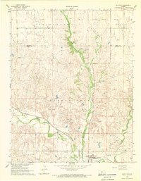
1968 · Sun City
USGS Topo · 1:24,000

1968 · Belvidere
USGS Topo · 1:24,000
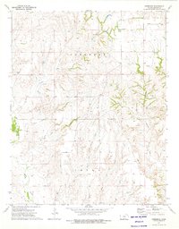
1973 · Deerhead
USGS Topo · 1:24,000
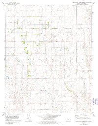
1980 · Nescatunga Creek North
USGS Topo · 1:24,000