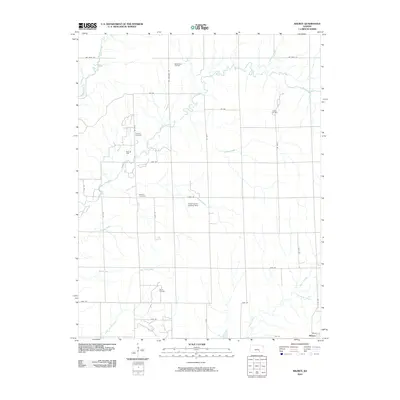
2010 Map of Wilmot
USGS Topo · Published 2010About this map
Rock Creek and its many tributaries, including Durham Creek and Stalter Branch, define the rural landscape of Cowley County. This 2010 survey shows a region where agricultural land use is punctuated by petroleum extraction and small-scale infrastructure. The settlement of Wilmot is situated in the southeastern corner, while the surrounding countryside is marked by several active energy production sites such as the Mount Tabor Oil Field, Rock Oil Field, and David Oil Field.
Find a feature on this map
40 named features on this map. Tap any name to fly to it.
Don’t see what you’re looking for? This feature index may not catch every label — zoom into the map to look around manually.
Map Details
Editions of this 2010 Wilmot Map
This is the sole edition of this map. No revisions or reprints were ever made.
Other maps of this area

1888 · Eldorado
USGS Topo · 1:125,000

1889 · Burden
USGS Topo · 1:125,000

1889 · Wichita
USGS Topo · 1:125,000

1890 · Wellington
USGS Topo · 1:125,000

1894 · Wichita
USGS Topo · 1:125,000

1955 · Udall
USGS Topo · 1:24,000

1955 · Douglass
USGS Topo · 1:24,000

1955 · Wichita
USGS Topo · 1:250,000

1958 · Wichita
USGS Topo · 1:250,000

1961 · Gordon
USGS Topo · 1:24,000