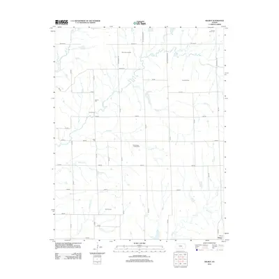
2012 Map of Wilmot
USGS Topo · Published 2012About this map
The Wilmot settlement and its surrounding agricultural and industrial lands define this 2012 survey. The region is characterized by a high concentration of petroleum extraction, with the Mount Tabor Oil Field, Rock Oil Field, Combs Oil Field, and David Oil Field distributed across the landscape. This energy production occurs alongside established family and community sites, such as the Stalter Cem and Widener Cem. A notable modern landmark is the Eaton Acres Landing Strip, situated near the headwaters of Stalter Br. The drainage network is dense, with many smaller tributaries like Little Dutch Cr and Sanford Cr feeding into larger systems like Dutch Cr and Rock Cr. This map also documents the unique presence of the Muqbra Muslim Cem in the northeastern corner, reflecting the diverse cultural and genealogical history of Cowley County.
Find a feature on this map
48 named features on this map. Tap any name to fly to it.
Don’t see what you’re looking for? This feature index may not catch every label — zoom into the map to look around manually.
Map Details
Editions of this 2012 Wilmot Map
This is the sole edition of this map. No revisions or reprints were ever made.
Other maps of this area

1888 · Eldorado
USGS Topo · 1:125,000

1889 · Burden
USGS Topo · 1:125,000

1889 · Wichita
USGS Topo · 1:125,000

1890 · Wellington
USGS Topo · 1:125,000

1894 · Wichita
USGS Topo · 1:125,000

1955 · Udall
USGS Topo · 1:24,000

1955 · Douglass
USGS Topo · 1:24,000

1955 · Wichita
USGS Topo · 1:250,000

1958 · Wichita
USGS Topo · 1:250,000

1961 · Gordon
USGS Topo · 1:24,000