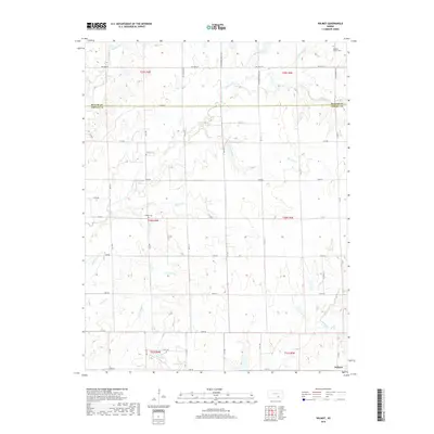
2018 Map of Wilmot
USGS Topo · Published 2018About this map
Wilmot sits in the southeast corner of this map where Richland Cr and Dutch Cr meet, representing the primary settlement in this section of the Kansas plains. The landscape is defined by the winding paths of several waterways, including Rock Creek and Durham Cr, which cut through the agricultural sections and are bridged by a network of county roads like Co RD 2 and 22nd RD. The map reveals a legacy of local history through its small family and community burial grounds, such as Stalter Cem and Widener Cem. A notable modern addition to this rural landscape is the Muqbra Muslim Cem located near the northern border, reflecting shifting cultural footprints in an area traditionally dominated by early homestead-era names. Small tributaries like Stalter Br and Sanford Cr emphasize the importance of drainage and water access in these rural townships.
Find a feature on this map
35 named features on this map. Tap any name to fly to it.
Don’t see what you’re looking for? This feature index may not catch every label — zoom into the map to look around manually.
Map Details
Editions of this 2018 Wilmot Map
This is the sole edition of this map. No revisions or reprints were ever made.
Other maps of this area

1888 · Eldorado
USGS Topo · 1:125,000

1889 · Burden
USGS Topo · 1:125,000

1889 · Wichita
USGS Topo · 1:125,000

1890 · Wellington
USGS Topo · 1:125,000

1894 · Wichita
USGS Topo · 1:125,000

1955 · Udall
USGS Topo · 1:24,000

1955 · Douglass
USGS Topo · 1:24,000

1955 · Wichita
USGS Topo · 1:250,000

1958 · Wichita
USGS Topo · 1:250,000

1961 · Gordon
USGS Topo · 1:24,000