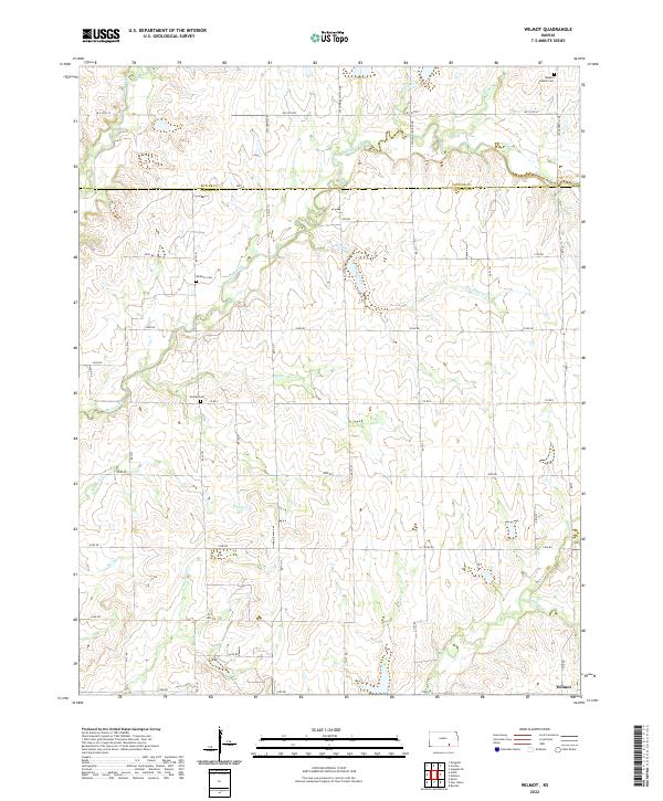
2022 Map of Wilmot
USGS Topo · Published 2022About this map
The border of Butler and Cowley counties defines this rural Kansas landscape, where the settlement of Wilmot sits in the southeast corner. The terrain is deeply etched by a complex drainage network, most notably Rock Creek and its various tributaries like Durham Creek and Muddy Creek. These waterways dictate the local geography, with roads following the section lines and ridges between the creek beds.
Find a feature on this map
49 named features on this map. Tap any name to fly to it.
Don’t see what you’re looking for? This feature index may not catch every label — zoom into the map to look around manually.
Map Details
Editions of this 2022 Wilmot Map
This is the sole edition of this map. No revisions or reprints were ever made.
Other maps of this area

1888 · Eldorado
USGS Topo · 1:125,000

1889 · Burden
USGS Topo · 1:125,000

1889 · Wichita
USGS Topo · 1:125,000

1890 · Wellington
USGS Topo · 1:125,000

1894 · Wichita
USGS Topo · 1:125,000

1955 · Udall
USGS Topo · 1:24,000

1955 · Douglass
USGS Topo · 1:24,000

1955 · Wichita
USGS Topo · 1:250,000

1958 · Wichita
USGS Topo · 1:250,000

1961 · Gordon
USGS Topo · 1:24,000