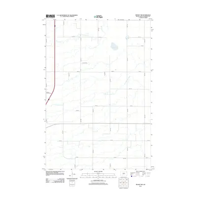
2012 Map of Wilmot NW
USGS Topo · Published 2012About this map
N Fork Whetstone River and Big Coulee Cr weave through this section of Roberts County, defining a landscape marked by glacial drainage and agricultural section lines. This 2012 survey shows the rural connectivity of the Old Agency District, where a grid of gravel and local roads like Gravel Pits Rd and Ward Rd link family farms and remote homesteads. The presence of Boe Cem in the southern portion of the quadrangle offers a specific point of interest for genealogists tracing local families in this part of South Dakota. Aviation history is also represented by the private Whipple Ranch Airport located near the western boundary. The terrain transitions from the seasonal waters of Mud Lake to the more distinct river channels, illustrating the water management and natural drainage patterns essential to the region's ranching and farming operations.
Find a feature on this map
24 named features on this map. Tap any name to fly to it.
Don’t see what you’re looking for? This feature index may not catch every label — zoom into the map to look around manually.
Map Details
Editions of this 2012 Wilmot NW Map
This is the sole edition of this map. No revisions or reprints were ever made.
Other maps of this area

1916 · Peever
USGS Topo · 1:62,500

1918 · Peever
USGS Topo · 1:62,500

1953 · Milbank
USGS Topo · 1:250,000

1958 · Milbank
USGS Topo · 1:250,000

1970 · Summit
USGS Topo · 1:24,000

1970 · Summit NE
USGS Topo · 1:24,000

1970 · Marvin
USGS Topo · 1:24,000

1970 · Wilmot NW
USGS Topo · 1:24,000

1970 · Goodwill
USGS Topo · 1:24,000

1971 · Corona
USGS Topo · 1:24,000