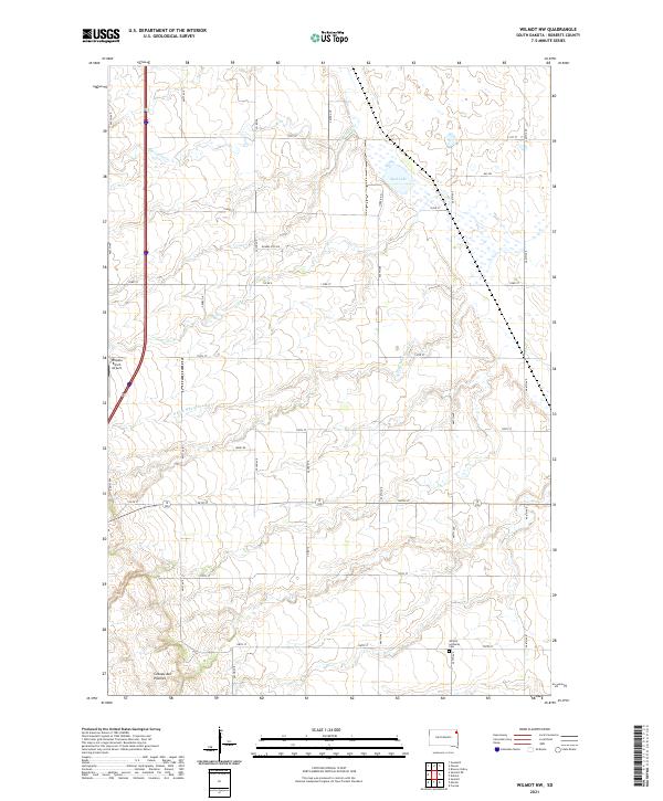
2021 Map of Wilmot NW
USGS Topo · Published 2021About this map
The Coteau des Prairies plateau forms the foundation for this Roberts County landscape, where the N Fork Whetstone River and Big Coulee Cr drain the high plains. The drainage pattern is typical of this glacially influenced region, dotted with wetlands like Mud Lake. This area is characterized by a precise township and range grid, intersected by local connectors such as Ward Rd and Peery Dr.
Find a feature on this map
34 named features on this map. Tap any name to fly to it.
Don’t see what you’re looking for? This feature index may not catch every label — zoom into the map to look around manually.
Map Details
Editions of this 2021 Wilmot NW Map
This is the sole edition of this map. No revisions or reprints were ever made.
Other maps of this area

1916 · Peever
USGS Topo · 1:62,500

1918 · Peever
USGS Topo · 1:62,500

1953 · Milbank
USGS Topo · 1:250,000

1958 · Milbank
USGS Topo · 1:250,000

1970 · Summit
USGS Topo · 1:24,000

1970 · Summit NE
USGS Topo · 1:24,000

1970 · Marvin
USGS Topo · 1:24,000

1970 · Wilmot NW
USGS Topo · 1:24,000

1970 · Goodwill
USGS Topo · 1:24,000

1971 · Corona
USGS Topo · 1:24,000