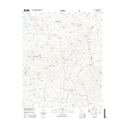
2014 Map of Wilscot
USGS Topo · Published 2014About this map
The Toccoa River winds through the southern reaches of this landscape, passing the small settlements of Swan and Dial as it flows toward Blue Ridge Lake in the northwest. Much of the terrain is defined by the high ridges of the Chattahoochee National Forest, where numerous gaps and knobs shape the local geography. Significant mountain crossings include Wilscot Gap and Skeenah Gap, which serve as traditional transit points through the rugged Blue Ridge foothills.
Find a feature on this map
119 named features on this map. Tap any name to fly to it.
Don’t see what you’re looking for? This feature index may not catch every label — zoom into the map to look around manually.
Map Details
Editions of this 2014 Wilscot Map
This is the sole edition of this map. No revisions or reprints were ever made.
Other maps of this area

1888 · Ellijay
USGS Topo · 1:125,000

1892 · Ellijay
USGS Topo · 1:125,000

1898 · Ellijay
USGS Topo · 1:125,000

1911 · Ellijay
USGS Topo · 1:125,000

1935 · Ivylog
USGS Topo · 1:24,000

1935 · Mulky Gap
USGS Topo · 1:24,000

1935 · Noontootla
USGS Topo · 1:24,000

1935 · Mineral Bluff
USGS Topo · 1:24,000

1935 · Lake Toccoa
USGS Topo · 1:24,000

1935 · Tickanetley
USGS Topo · 1:24,000