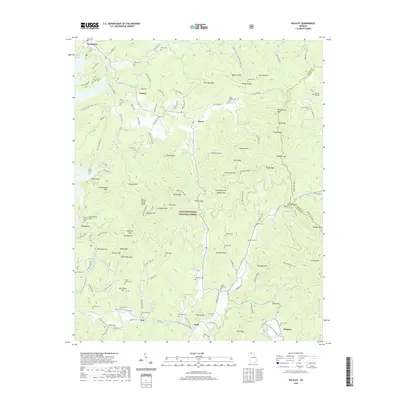
2020 Map of Wilscot
USGS Topo · Published 2020About this map
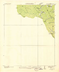
The Toccoa River winds through this section of the Chattahoochee National Forest, defining a landscape of high ridges and narrow gaps in Fannin County. Small communities like Dial, Hurst, and Morganton anchor the valley bottoms, while family-named landmarks such as Picklesimer Mtn and Hickoryland Mtn dominate the skyline. The area's genealogical depth is visible in the numerous small burial grounds tucked away in the hills, including the Burgess Cem near Burgess Gap and the Van Zandt Cem on the slopes of Van Zandt Hill.
Find a feature on this map
153 named features on this map. Tap any name to fly to it.
Don’t see what you’re looking for? This feature index may not catch every label — zoom into the map to look around manually.
Map Details
Editions of this 2020 Wilscot Map
This is the sole edition of this map. No revisions or reprints were ever made.
Other maps of this area

1888 · Ellijay
USGS Topo · 1:125,000

1892 · Ellijay
USGS Topo · 1:125,000
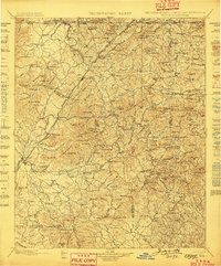
1898 · Ellijay
USGS Topo · 1:125,000
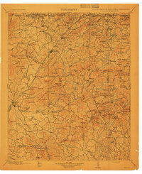
1911 · Ellijay
USGS Topo · 1:125,000
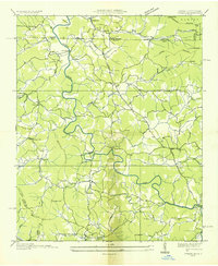
1935 · Ivylog
USGS Topo · 1:24,000
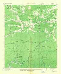
1935 · Mulky Gap
USGS Topo · 1:24,000
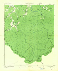
1935 · Noontootla
USGS Topo · 1:24,000
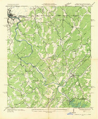
1935 · Mineral Bluff
USGS Topo · 1:24,000
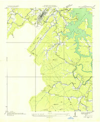
1935 · Lake Toccoa
USGS Topo · 1:24,000
1935 · Tickanetley
USGS Topo · 1:24,000