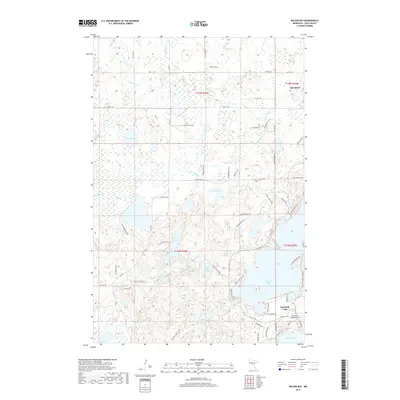
2019 Map of Wilson Bay
USGS Topo · Published 2019About this map
Gull Lake and its prominent Wilson Bay define the eastern landscape of this Cass County region, where the town of Lake Shore occupies the northern shoreline. This 2019 survey documents a complex network of glacial lakes and wetlands, including Hardy Lake, Shafer Lake, and Beauty Lake, connected by drainage systems like Home Brook and Rush Brook. The area shows significant residential development along the shorelines, particularly on the Pine Beach Peninsula and within East Gull Lake.
Find a feature on this map
72 named features on this map. Tap any name to fly to it.
Don’t see what you’re looking for? This feature index may not catch every label — zoom into the map to look around manually.
Map Details
Editions of this 2019 Wilson Bay Map
This is the sole edition of this map. No revisions or reprints were ever made.
Other maps of this area

1916 · Pillager
USGS Topo · 1:62,500

1919 · Pillager
USGS Topo · 1:62,500

1919 · Leader
USGS Topo · 1:62,500

1953 · Brainerd
USGS Topo · 1:250,000

1954 · Baxter
USGS Topo · 1:24,000

1954 · Pillager
USGS Topo · 1:24,000

1957 · Brainerd
USGS Topo · 1:250,000

1958 · Brainerd
USGS Topo · 1:250,000

1959 · Nisswa
USGS Topo · 1:24,000

1959 · Pine River SW
USGS Topo · 1:24,000