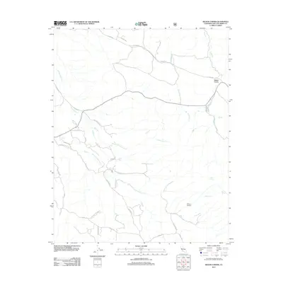
2012 Map of Wilson Corner
USGS Topo · Published 2012About this map
Wilson Corner and the surrounding ranch lands of San Luis Obispo County are defined by an intricate network of seasonal drainage and springs. The landscape is carved by the E Br Huerhuero Cr and Middle Br Huerhuero Cr, which converge as they flow through this high-country terrain. Grounded history is preserved in the naming of several remote water sources, including Ben Willow Spring?, Milburn Spring, and Milkcan Spring, hinting at the area's importance for cattle and early homesteaders.
Find a feature on this map
32 named features on this map. Tap any name to fly to it.
Don’t see what you’re looking for? This feature index may not catch every label — zoom into the map to look around manually.
Map Details
Editions of this 2012 Wilson Corner Map
This is the sole edition of this map. No revisions or reprints were ever made.
Other maps of this area

1897 · San Luis Obispo
USGS Topo · 1:62,500

1900 · San Luis
USGS Topo · 1:125,000

1914 · Cholame
USGS Topo · 1:125,000

1915 · Cholame
USGS Topo · 1:125,000

1917 · Cholame
USGS Topo · 1:125,000

1919 · Paso Robles
USGS Topo · 1:62,500

1922 · Pozo
USGS Topo · 1:62,500

1942 · San Luis Obispo
USGS Topo · 1:62,500

1943 · Paso Robles
USGS Topo · 1:62,500

1943 · Commatti Canyon
USGS Topo · 1:31,680