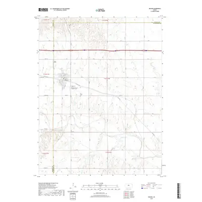
2018 Map of Wilson
USGS Topo · Published 2018About this map
Wilson sits at the heart of this central Kansas landscape, showing its organized street grid north of the meandering Smoky Hill River. The town is well-documented with its residential blocks, local Wilson Airport, and several significant community burial grounds including Wilson Cem, the Saint Wenceslaus Catholic Cem, and the Old Wilson Cem. This survey illustrates how the local road network, including Old US Hwy 40 and Grant Rd, follows the section lines of the township and range system, occasionally yielding to the natural paths of Wilson Cr and Spring Cr. The confluence of these waterways with the Smoky Hill River near Blood Cr highlights the drainage patterns essential to the area's agricultural identity.
Find a feature on this map
39 named features on this map. Tap any name to fly to it.
Don’t see what you’re looking for? This feature index may not catch every label — zoom into the map to look around manually.
Map Details
Editions of this 2018 Wilson Map
This is the sole edition of this map. No revisions or reprints were ever made.
Other maps of this area

1894 · Ellsworth
USGS Topo · 1:125,000

1896 · Russell
USGS Topo · 1:125,000

1955 · Great Bend
USGS Topo · 1:250,000

1956 · Wilson
USGS Topo · 1:24,000

1956 · Dorrance
USGS Topo · 1:24,000

1957 · Great Bend
USGS Topo · 1:250,000

1957 · Holyrood NE
USGS Topo · 1:24,000

1957 · Black Wolf
USGS Topo · 1:24,000

1958 · Great Bend
USGS Topo · 1:250,000
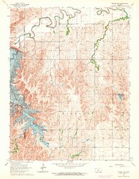
1964 · Wilson NW
USGS Topo · 1:24,000