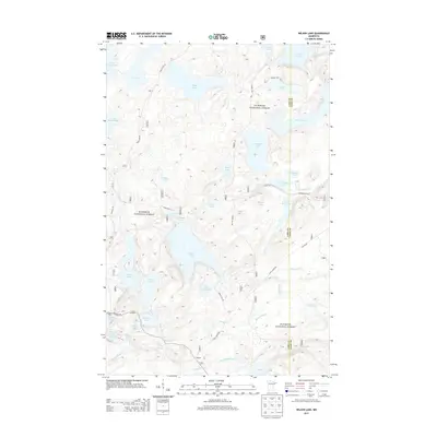
2013 Map of Wilson Lake
USGS Topo · Published 2013About this map
Superior National Forest encompasses this vast aquatic landscape in Northeastern Minnesota, defined by an intricate network of interconnected glacial basins and forest routes. The small settlement of Wanless serves as a lone terrestrial landmark amidst a dense collection of water bodies, including the expansive Wilson Lake and the smaller Little Wilson Lake at the center. The map reveals the hydrology of the Arrowhead region, where the Cross River flows through Cross River Lake and Houghtaling Creek drains the southern wetlands.
Find a feature on this map
47 named features on this map. Tap any name to fly to it.
Don’t see what you’re looking for? This feature index may not catch every label — zoom into the map to look around manually.
Map Details
Editions of this 2013 Wilson Lake Map
This is the sole edition of this map. No revisions or reprints were ever made.
Other maps of this area

1954 · Two Harbors
USGS Topo · 1:250,000

1955 · Schroeder
USGS Topo · 1:24,000

1955 · Tofte
USGS Topo · 1:62,500

1955 · Cramer
USGS Topo · 1:62,500

1957 · Two Harbors
USGS Topo · 1:250,000

1958 · Two Harbors
USGS Topo · 1:250,000

1960 · Kawishiwi Lake
USGS Topo · 1:24,000

1960 · Perent Lake
USGS Topo · 1:24,000

1960 · Beth Lake
USGS Topo · 1:24,000

1964 · Two Harbors
USGS Topo · 1:250,000