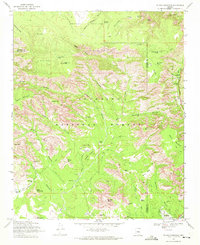
1969 Map of Wilson Mountain
USGS Topo · Published 1972About this map
Sedona appears at the southern edge of this survey, showing the town's layout before its later expansion, including the Sedona Oak Creek Golf Course and a nearby Radio Facility. The landscape is dominated by the complex formations of the Coconino National Forest, where high mesas like Rattlesnake Mesa and Wilson Mountain are carved by deep drainages such as Oak Creek and Secret Canyon.
Find a feature on this map
68 named features on this map. Tap any name to fly to it.
Don’t see what you’re looking for? This feature index may not catch every label — zoom into the map to look around manually.
Map Details
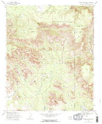
Editions of this 1969 Wilson Mountain Map
2 editions found
Other maps of this area

1886 · San Francisco Mtns
USGS Topo · 1:250,000

1887 · Verde
USGS Topo · 1:250,000

1891 · San Francisco Mtns
USGS Topo · 1:250,000

1892 · Verde
USGS Topo · 1:250,000

1894 · San Francisco Mtns
USGS Topo · 1:250,000

1899 · San Francisco Mtns
USGS Topo · 1:250,000

1908 · Flagstaff
USGS Topo · 1:125,000

1912 · Flagstaff
USGS Topo · 1:125,000

1923 · Camp Verde
USGS Topo · 1:125,000

1932 · Camp Verde
USGS Topo · 1:125,000