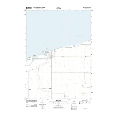
2010 Map of Wilson
USGS Topo · Published 2010About this map
Lake Ontario defines the northern edge of this Niagara County landscape, where the mouth of Twelvemile Creek forms the sheltered waters of Tuscarora Bay. The village of Wilson serves as the central hub, surrounded by smaller lakeside communities and hamlets such as Roosevelt Beach, Coolidge Beach, and North Wilson. This maritime character is punctuated by the Pierhead Light 2 and Clark Marina, highlighting the area's importance for local navigation and recreation.
Find a feature on this map
34 named features on this map. Tap any name to fly to it.
Don’t see what you’re looking for? This feature index may not catch every label — zoom into the map to look around manually.
Map Details
Editions of this 2010 Wilson Map
This is the sole edition of this map. No revisions or reprints were ever made.
Other maps of this area

1894 · Wilson
USGS Topo · 1:62,500

1897 · Tonawanda
USGS Topo · 1:62,500

1897 · Olcott
USGS Topo · 1:62,500

1897 · Lockport
USGS Topo · 1:62,500

1899 · Niagara
USGS Topo · 1:125,000

1900 · Wilson
USGS Topo · 1:62,500

1900 · Tonawanda
USGS Topo · 1:62,500

1901 · Tonawanda
USGS Topo · 1:62,500

1902 · Lockport
USGS Topo · 1:62,500

1905 · Lockport
USGS Topo · 1:62,500