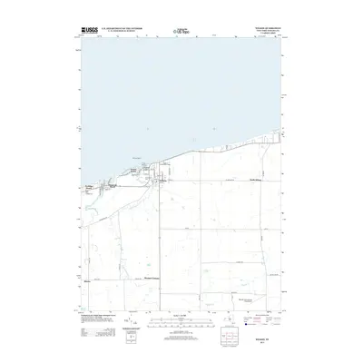
2013 Map of Wilson
USGS Topo · Published 2013About this map
The Niagara County shoreline meets Lake Ontario at the harbor of Wilson, a focal point for maritime activity defined by Tuscarora Bay and protected by Tugwells Island. Along the coast, a string of lakeside communities including Sunset Beach, Roosevelt Beach, and Coolidge Beach illustrate the area's development as a waterfront destination. Inland, the landscape transitions into agricultural terrain drained by Twelvemile Cr and its tributaries, where the grid of rural roads connects established hamlets like North Wilson and Pleasant Corners. Local history and infrastructure are represented by the Greenwood Cem and the Village of Wilson Water Works, while the Pierhead Light 2 marks the critical entrance to the harbor. The presence of Hollands International Field Airport in the south underscores the modern utility of this primarily rural and coastal region.
Find a feature on this map
54 named features on this map. Tap any name to fly to it.
Don’t see what you’re looking for? This feature index may not catch every label — zoom into the map to look around manually.
Map Details
Editions of this 2013 Wilson Map
This is the sole edition of this map. No revisions or reprints were ever made.
Other maps of this area

1894 · Wilson
USGS Topo · 1:62,500

1897 · Tonawanda
USGS Topo · 1:62,500

1897 · Olcott
USGS Topo · 1:62,500

1897 · Lockport
USGS Topo · 1:62,500

1899 · Niagara
USGS Topo · 1:125,000

1900 · Wilson
USGS Topo · 1:62,500

1900 · Tonawanda
USGS Topo · 1:62,500

1901 · Tonawanda
USGS Topo · 1:62,500

1902 · Lockport
USGS Topo · 1:62,500

1905 · Lockport
USGS Topo · 1:62,500