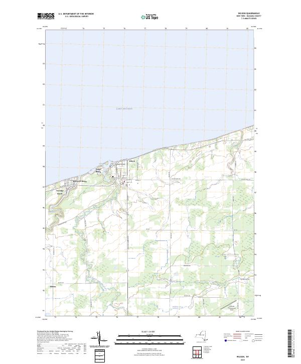
2023 Map of Wilson
USGS Topo · Published 2023About this map
The town of Wilson anchors this northern Niagara County landscape, situated where the mouth of Twelvemile Creek meets the southern shore of Lake Ontario. The village center is defined by a traditional grid including Young St and Ontario St, while the nearby coast is lined with established seasonal and residential clusters like Roosevelt Beach, Sunset Beach, and Coolidge Beach.
Find a feature on this map
38 named features on this map. Tap any name to fly to it.
Don’t see what you’re looking for? This feature index may not catch every label — zoom into the map to look around manually.
Map Details
Editions of this 2023 Wilson Map
This is the sole edition of this map. No revisions or reprints were ever made.
Other maps of this area

1894 · Wilson
USGS Topo · 1:62,500

1897 · Tonawanda
USGS Topo · 1:62,500

1897 · Olcott
USGS Topo · 1:62,500

1897 · Lockport
USGS Topo · 1:62,500

1899 · Niagara
USGS Topo · 1:125,000

1900 · Wilson
USGS Topo · 1:62,500

1900 · Tonawanda
USGS Topo · 1:62,500

1901 · Tonawanda
USGS Topo · 1:62,500

1902 · Lockport
USGS Topo · 1:62,500

1905 · Lockport
USGS Topo · 1:62,500