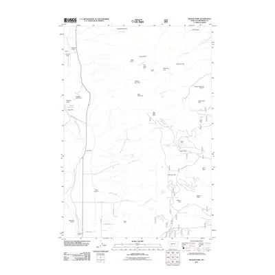
2011 Map of Wilson Park
USGS Topo · Published 2011About this map
Nettie Mine sits at the heart of this high-elevation landscape in Jefferson County, where the headwaters of several major drainages begin. The terrain is defined by a dense network of mountain parks and springs, suggesting a region centered on livestock grazing and water management. Large landholdings like Keogh Ranch, Tomahawk Ranch, and Simonsen Ranch are spread across the Whitetail Deer Creek valley, while infrastructure such as Keogh Dam and Moulton Creek Dam Number 1 indicates the importance of water storage in this arid mountain environment.
Find a feature on this map
59 named features on this map. Tap any name to fly to it.
Don’t see what you’re looking for? This feature index may not catch every label — zoom into the map to look around manually.
Map Details
Editions of this 2011 Wilson Park Map
This is the sole edition of this map. No revisions or reprints were ever made.
Other maps of this area

1886 · Fort Logan
USGS Topo · 1:250,000

1888 · Three Forks
USGS Topo · 1:250,000

1889 · Helena
USGS Topo · 1:250,000

1893 · Helena
USGS Topo · 1:250,000

1893 · Dillon
USGS Topo · 1:250,000

1894 · Three Forks
USGS Topo · 1:250,000

1895 · Three Forks
USGS Topo · 1:250,000

1899 · Boulder
USGS Topo · 1:125,000

1899 · Helena
USGS Topo · 1:250,000

1903 · Helena
USGS Topo · 1:250,000