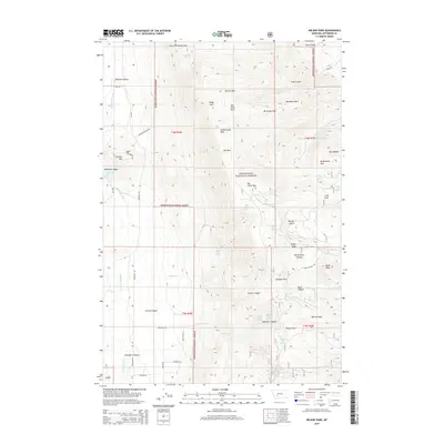
2014 Map of Wilson Park
USGS Topo · Published 2014About this map
Deerlodge National Forest dominates this mountain landscape, where the high ridges of the Boulder Mountains reach peaks like Fletcher Mtn and Bull Mtn. The terrain is defined by a series of high-altitude "parks"—natural clearings or meadows—including Little Whitetail Park, Seldom Seen Park, and Swampy Park. These openings in the timber were critical landmarks for early travel and grazing in the Jefferson County high country.
Find a feature on this map
63 named features on this map. Tap any name to fly to it.
Don’t see what you’re looking for? This feature index may not catch every label — zoom into the map to look around manually.
Map Details
Editions of this 2014 Wilson Park Map
This is the sole edition of this map. No revisions or reprints were ever made.
Other maps of this area

1886 · Fort Logan
USGS Topo · 1:250,000

1888 · Three Forks
USGS Topo · 1:250,000

1889 · Helena
USGS Topo · 1:250,000

1893 · Helena
USGS Topo · 1:250,000

1893 · Dillon
USGS Topo · 1:250,000

1894 · Three Forks
USGS Topo · 1:250,000

1895 · Three Forks
USGS Topo · 1:250,000

1899 · Boulder
USGS Topo · 1:125,000

1899 · Helena
USGS Topo · 1:250,000

1903 · Helena
USGS Topo · 1:250,000