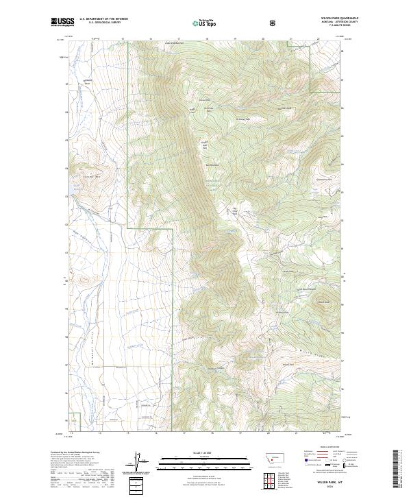
2024 Map of Wilson Park
USGS Topo · Published 2024About this map
Bull Mountain dominates the central landscape of this Jefferson County high-country survey, surrounded by the high-elevation meadows and peaks of the Deerlodge National Forest. The map captures a complex network of seasonal drainages and springs that feed into larger systems like Dearborn Creek and Potter Creek. Notable for its many family-named or character-rich landmarks, the area includes isolated parks such as Seldom Seen Park and Two Pines Park.
Find a feature on this map
64 named features on this map. Tap any name to fly to it.
Don’t see what you’re looking for? This feature index may not catch every label — zoom into the map to look around manually.
Map Details
Editions of this 2024 Wilson Park Map
This is the sole edition of this map. No revisions or reprints were ever made.
Other maps of this area

1886 · Fort Logan
USGS Topo · 1:250,000

1888 · Three Forks
USGS Topo · 1:250,000

1889 · Helena
USGS Topo · 1:250,000

1893 · Helena
USGS Topo · 1:250,000

1893 · Dillon
USGS Topo · 1:250,000

1894 · Three Forks
USGS Topo · 1:250,000

1895 · Three Forks
USGS Topo · 1:250,000

1899 · Boulder
USGS Topo · 1:125,000

1899 · Helena
USGS Topo · 1:250,000

1903 · Helena
USGS Topo · 1:250,000