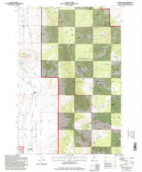
1996 Map of Wilson Park
USGS Topo · Published 1998About this map
Whitetail Valley and the high mountain parks of the Deerlodge National Forest dominate this mid-1990s landscape in Jefferson County. The terrain is a mix of agricultural valley floor and high-elevation timberland, marked by remote homesteads such as Murray Cabin and established ranching operations like the Keogh Ranch and Simonsen Ranch. Water management is central to life here, with the Keogh Reservoir and an extensive network of unnamed Ditch lines drawing from Little Whitetail Creek to support the valley's cattle and hay production.
Find a feature on this map
56 named features on this map. Tap any name to fly to it.
Don’t see what you’re looking for? This feature index may not catch every label — zoom into the map to look around manually.
Map Details
Editions of this 1996 Wilson Park Map
This is the sole edition of this map. No revisions or reprints were ever made.
Other maps of this area

1886 · Fort Logan
USGS Topo · 1:250,000

1888 · Three Forks
USGS Topo · 1:250,000

1889 · Helena
USGS Topo · 1:250,000

1893 · Helena
USGS Topo · 1:250,000

1893 · Dillon
USGS Topo · 1:250,000

1894 · Three Forks
USGS Topo · 1:250,000

1895 · Three Forks
USGS Topo · 1:250,000

1899 · Boulder
USGS Topo · 1:125,000

1899 · Helena
USGS Topo · 1:250,000

1903 · Helena
USGS Topo · 1:250,000