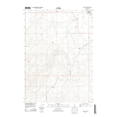
2013 Map of Wilson Peak
USGS Topo · Published 2013About this map
Wilson sits at the northern edge of this high-elevation landscape, where the agricultural flats of the Snake River valley meet the rising slopes of the Owyhee Mountains. This 2013 survey documents the complex irrigation and transport networks required to manage this arid terrain, including the Bernard Ditch and Wilson Cr. The presence of the Wilson Cem and several family-named roads like Bailey Rd and R C Shire Ln provides a valuable record for local family historians. The map is dominated by significant topographical landmarks such as Wilson Peak and Hemingway Butte, while to the north, the boundary between Canyon County and Owyhee County is marked near the river features of Wright Island and Bayha Island. Modern access is defined by routes such as Upper Reynolds Creek Rd and China Ditch Rd, tracing the paths of earlier pioneers.
Find a feature on this map
23 named features on this map. Tap any name to fly to it.
Don’t see what you’re looking for? This feature index may not catch every label — zoom into the map to look around manually.
Map Details
Editions of this 2013 Wilson Peak Map
This is the sole edition of this map. No revisions or reprints were ever made.
Other maps of this area

1892 · Silver City
USGS Topo · 1:125,000

1894 · Silver City
USGS Topo · 1:125,000

1898 · Silver City
USGS Topo · 1:125,000

1955 · Boise
USGS Topo · 1:250,000
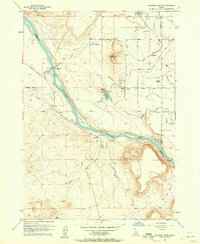
1957 · Walters Butte
USGS Topo · 1:24,000

1957 · Opalene Gulch
USGS Topo · 1:24,000

1957 · Wilson Peak
USGS Topo · 1:24,000

1957 · Sands Basin
USGS Topo · 1:62,500

1958 · Boise
USGS Topo · 1:250,000
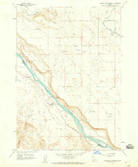
1958 · Givens Hot Springs
USGS Topo · 1:24,000