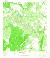
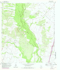
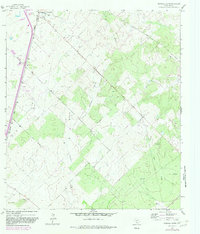
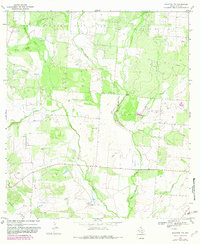
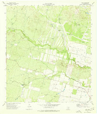
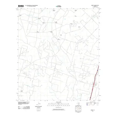
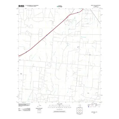
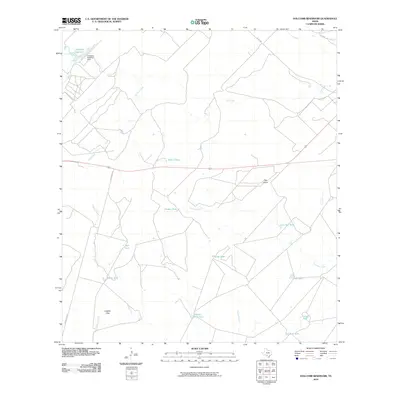
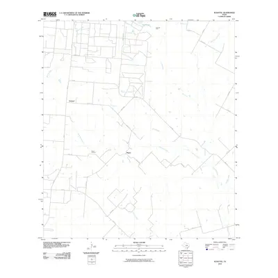
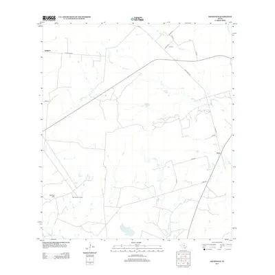
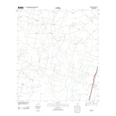
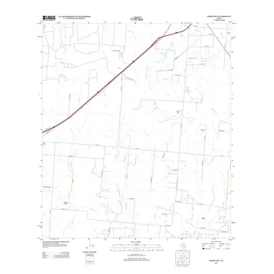
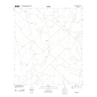
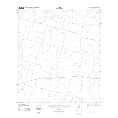
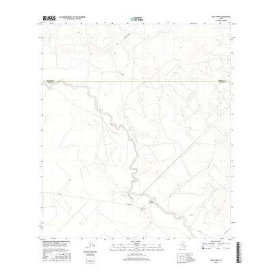
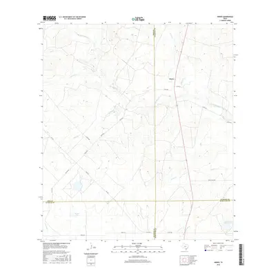
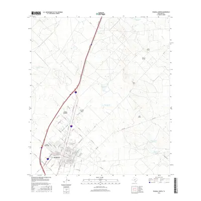
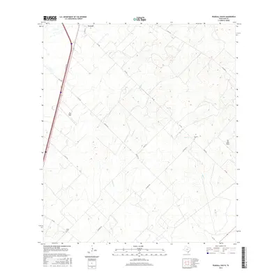
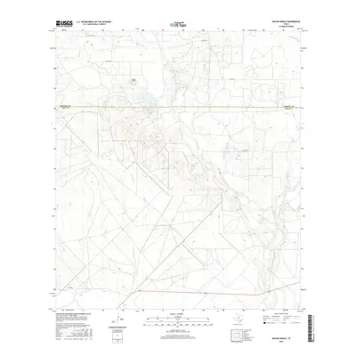
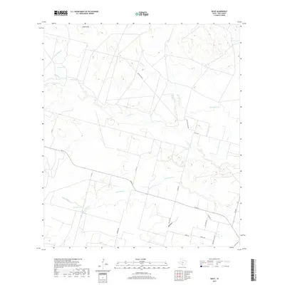
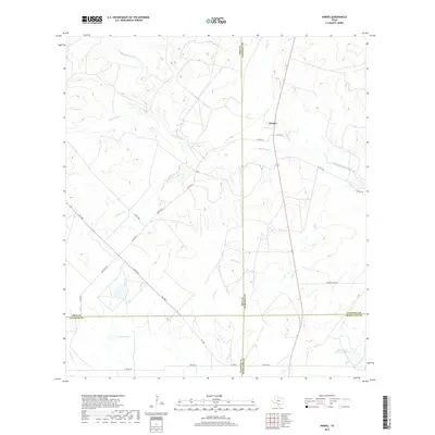
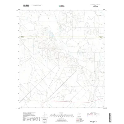
1964 Map of Wilson Ranch
USGS Topo · Published 1966About this map
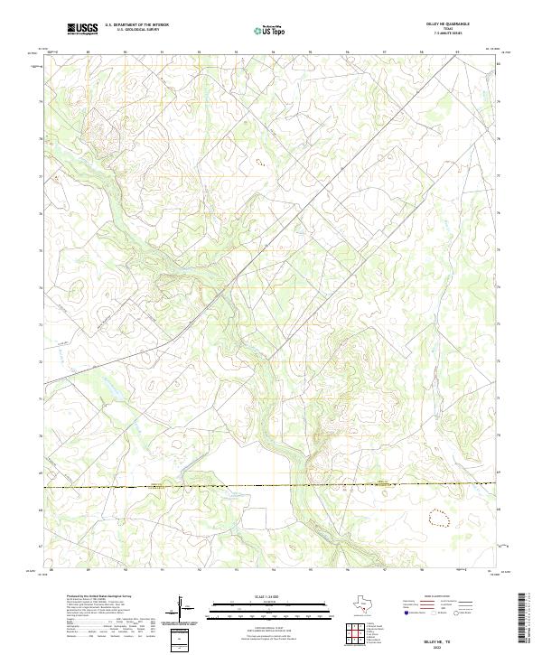
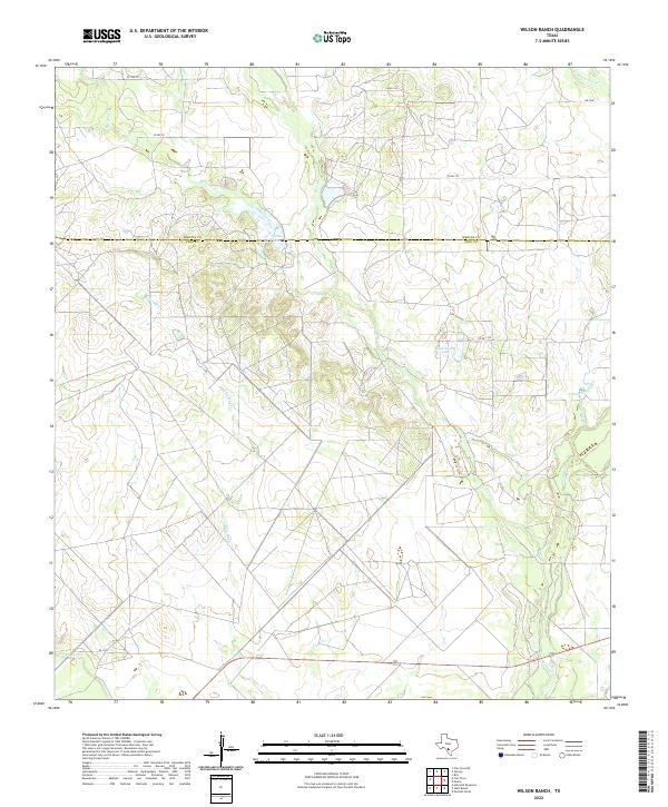
Wilson Ranch serves as the primary landmark in this ranching landscape straddling the Medina Co Frio Co line during the mid-1960s. The terrain is defined by an extensive network of drainage systems, including the southward-flowing Seco Creek, Squirrel Creek, and the prominent Hondo Creek. A notable reliance on groundwater is evident through the numerous named water sources scattered across the brushland, such as Javelin Windmill, Slaughter Windmill, and Tacho Windmill. These features, alongside isolated Gravel Pit operations, illustrate a sparsely populated region dedicated to large-scale land holdings and livestock. The map also records several other minor waterways like Live Oak Creek and Tehuacana Creek, which feed into the larger creek systems that dictate the movement and settlement patterns of this South Texas borderland.
Find a feature on this map
16 named features on this map. Tap any name to fly to it.
Don’t see what you’re looking for? This feature index may not catch every label — zoom into the map to look around manually.
Map Details
Editions of this 1964 Wilson Ranch Map
This is the sole edition of this map. No revisions or reprints were ever made.
Historical Maps of Medina County Through Time
107 maps found

1925 Pearsall 1-b
Frio County, TX
1925 Pearsall 1-c
Frio County, TX
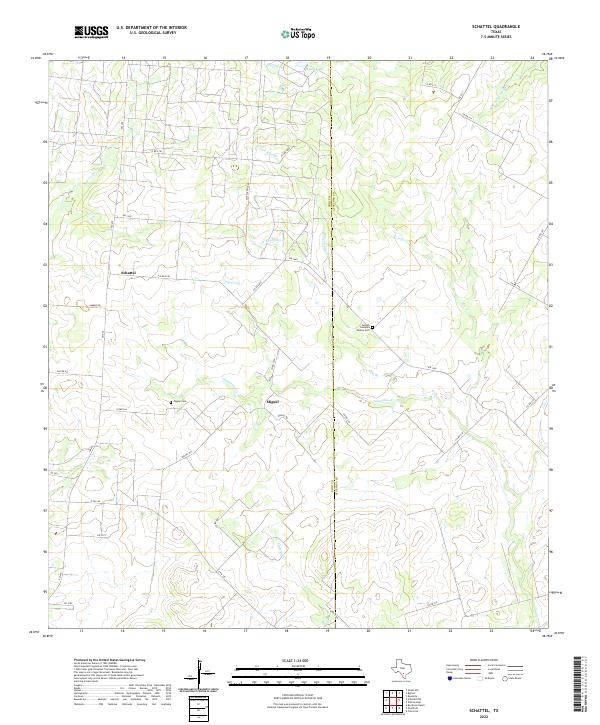
1934 Schattel
Frio County, TX

1942 Divot
Frio County, TX
1956 Divot
Frio County, TX
1964 Derby
Frio County, TX
1964 Ghost Hill
Frio County, TX
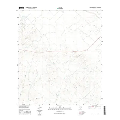
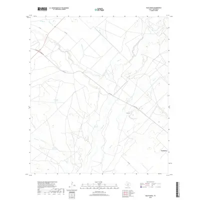
1964 Halff Ranch
Frio County, TX
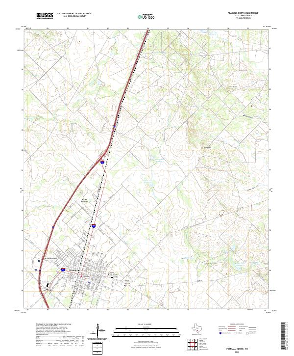
1964 Pearsall North
Frio County, TX
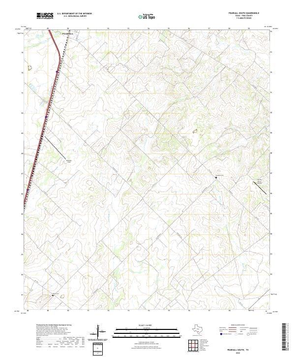
1964 Pearsall South
Frio County, TX
1964 Wilson Ranch
Frio County, TX
1968 Goldfinch
Frio County, TX
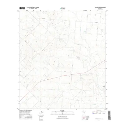
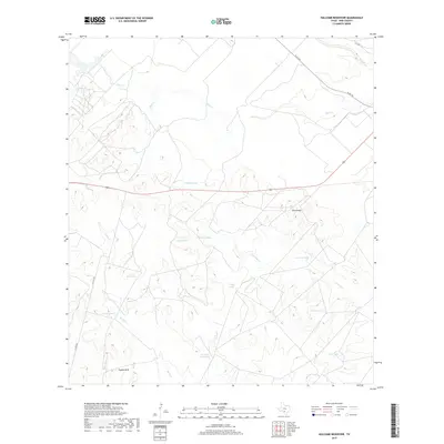
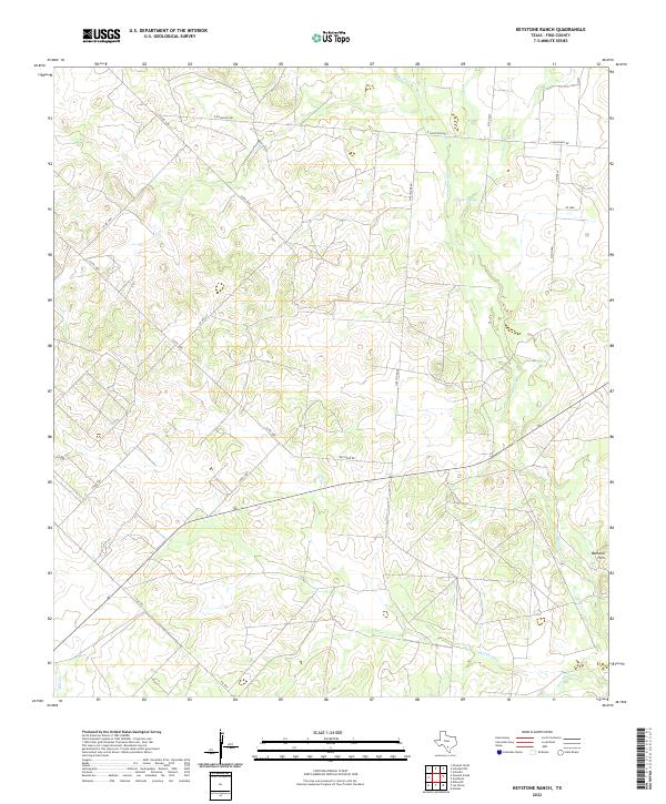
1968 Keystone Ranch
Frio County, TX
1968 Schattel
Frio County, TX
1968 Schattel NW
Frio County, TX
1969 Hindes
Frio County, TX
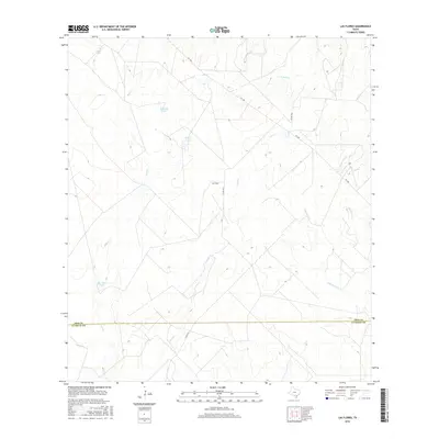
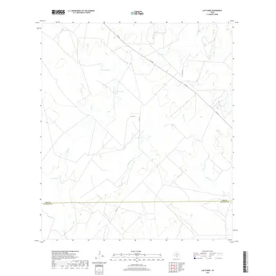
1969 Las Flores
Frio County, TX
1974 Dilley NE
Frio County, TX
1974 Divot
Frio County, TX
1974 Frio Town
Frio County, TX
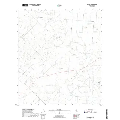
1974 Holcomb Reservoir
Frio County, TX
1974 Woodward NE
Frio County, TX
2010 Derby
Frio County, TX
2010 Dilley NE
Frio County, TX
2010 Divot
Frio County, TX
2010 Frio Town
Frio County, TX
2010 Ghost Hill
Frio County, TX
2010 Goldfinch
Frio County, TX
2010 Halff Ranch
Frio County, TX
2010 Hindes
Frio County, TX
2010 Holcomb Reservoir
Frio County, TX
2010 Keystone Ranch
Frio County, TX
2010 Las Flores
Frio County, TX
2010 Pearsall North
Frio County, TX

2010 Pearsall South
Frio County, TX
2010 Schattel
Frio County, TX
2010 Schattel NW
Frio County, TX
2010 Wilson Ranch
Frio County, TX
2010 Woodward NE
Frio County, TX
2012 Goldfinch
Frio County, TX
2012 Keystone Ranch
Frio County, TX
2012 Schattel
Frio County, TX
2012 Schattel NW
Frio County, TX
2013 Derby
Frio County, TX
2013 Dilley NE
Frio County, TX
2013 Divot
Frio County, TX
2013 Frio Town
Frio County, TX
2013 Ghost Hill
Frio County, TX
2013 Halff Ranch
Frio County, TX
2013 Hindes
Frio County, TX
2013 Holcomb Reservoir
Frio County, TX
2013 Las Flores
Frio County, TX
2013 Pearsall North
Frio County, TX
2013 Pearsall South
Frio County, TX
2013 Wilson Ranch
Frio County, TX
2013 Woodward NE
Frio County, TX
2016 Derby
Frio County, TX
2016 Dilley NE
Frio County, TX
2016 Divot
Frio County, TX
2016 Frio Town
Frio County, TX
2016 Ghost Hill
Frio County, TX
2016 Goldfinch
Frio County, TX
2016 Halff Ranch
Frio County, TX
2016 Hindes
Frio County, TX
2016 Holcomb Reservoir
Frio County, TX
2016 Keystone Ranch
Frio County, TX
2016 Las Flores
Frio County, TX
2016 Pearsall North
Frio County, TX
2016 Pearsall South
Frio County, TX
2016 Schattel
Frio County, TX
2016 Schattel NW
Frio County, TX
2016 Wilson Ranch
Frio County, TX
2016 Woodward NE
Frio County, TX
2019 Derby
Frio County, TX
2019 Dilley NE
Frio County, TX
2019 Divot
Frio County, TX
2019 Frio Town
Frio County, TX
2019 Ghost Hill
Frio County, TX
2019 Goldfinch
Frio County, TX
2019 Halff Ranch
Frio County, TX
2019 Hindes
Frio County, TX
2019 Holcomb Reservoir
Frio County, TX
2019 Keystone Ranch
Frio County, TX
2019 Las Flores
Frio County, TX
2019 Pearsall North
Frio County, TX
2019 Pearsall South
Frio County, TX
2019 Schattel
Frio County, TX
2019 Schattel NW
Frio County, TX
2019 Wilson Ranch
Frio County, TX
2019 Woodward NE
Frio County, TX
2022 Derby
Frio County, TX
2022 Dilley NE
Frio County, TX
2022 Divot
Frio County, TX
2022 Frio Town
Frio County, TX
2022 Ghost Hill
Frio County, TX
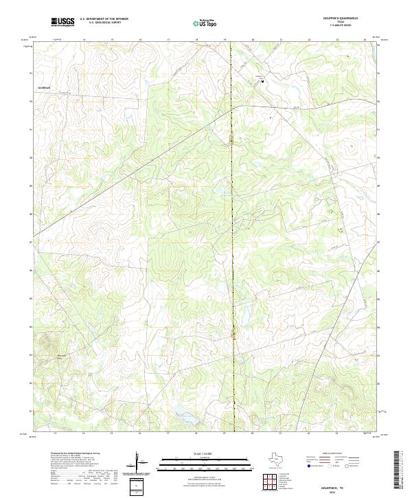
2022 Goldfinch
Frio County, TX
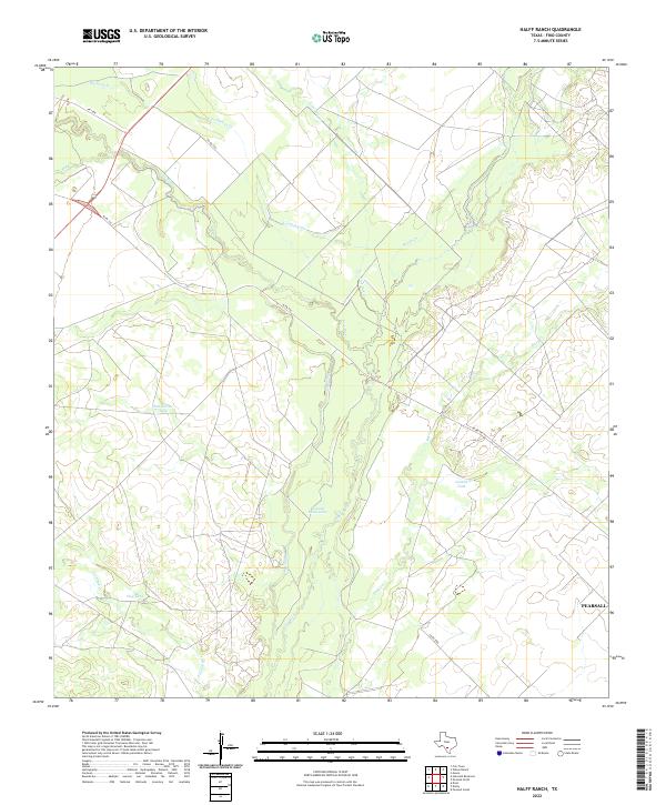
2022 Halff Ranch
Frio County, TX
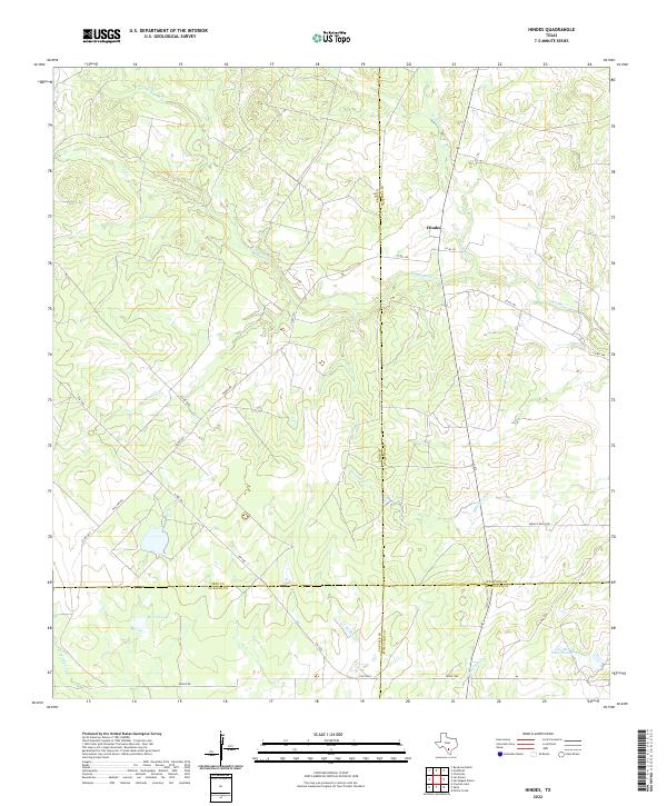
2022 Hindes
Frio County, TX
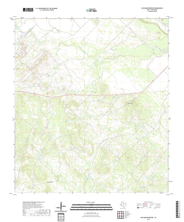
2022 Holcomb Reservoir
Frio County, TX
2022 Keystone Ranch
Frio County, TX

2022 Las Flores
Frio County, TX
2022 Pearsall North
Frio County, TX
2022 Pearsall South
Frio County, TX
2022 Schattel
Frio County, TX
2022 Schattel NW
Frio County, TX
2022 Wilson Ranch
Frio County, TX
2022 Woodward NE
Frio County, TX