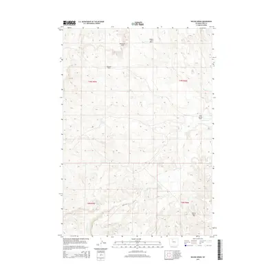
2015 Map of Wilson Spring
USGS Topo · Published 2015About this map
Wilson Spring and a series of vital water sources define this high-elevation landscape in Park County during the mid-2010s. The area is characterized by a complex drainage network where Fifteenmile Cr and Badger Cr carve through distinct topographic depressions like Rimrock Basin and Blackstone Gulch. These geographic features provided essential landmarks and resources for early ranching and transit across the Wyoming interior.
Find a feature on this map
16 named features on this map. Tap any name to fly to it.
Don’t see what you’re looking for? This feature index may not catch every label — zoom into the map to look around manually.
Map Details
Editions of this 2015 Wilson Spring Map
This is the sole edition of this map. No revisions or reprints were ever made.
Other maps of this area

1911 · Meeteetse
USGS Topo · 1:62,500

1911 · Oregon Basin
USGS Topo · 1:62,500

1913 · Oregon Basin
USGS Topo · 1:62,500

1913 · Meeteetse
USGS Topo · 1:62,500

1951 · Hillberry Rim
USGS Topo · 1:24,000

1951 · Gillies Draw
USGS Topo · 1:24,000

1951 · Tatman Mountain
USGS Topo · 1:24,000

1951 · Sheets Flat
USGS Topo · 1:24,000

1951 · Wilson Spring
USGS Topo · 1:24,000

1951 · Dead Indian Hill
USGS Topo · 1:24,000