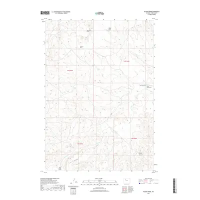
2017 Map of Wilson Spring
USGS Topo · Published 2017About this map
Wilson Spring and a series of high-desert water sources define this landscape in the eastern reaches of Park County. The terrain is deeply sculpted by seasonal drainages such as Fifteenmile Cr and Badger Cr, which have carved out distinct geological features like Rimrock Basin and Blackstone Gulch. Named springs, including the descriptively titled Baking Powder Springs and Parker Springs, suggest the importance of these rare water points for early ranching and transit through the Bighorn Basin. The map also documents local landmarks like Whistle Berry Hill and the curious Hole in the Ground, accessible via unpaved routes like Squaw Teats Rd. This 2017 survey reflects the enduring character of a region where topographic nomenclature remains tied to its utilitarian past.
Find a feature on this map
19 named features on this map. Tap any name to fly to it.
Don’t see what you’re looking for? This feature index may not catch every label — zoom into the map to look around manually.
Map Details
Editions of this 2017 Wilson Spring Map
This is the sole edition of this map. No revisions or reprints were ever made.
Other maps of this area

1911 · Meeteetse
USGS Topo · 1:62,500

1911 · Oregon Basin
USGS Topo · 1:62,500

1913 · Oregon Basin
USGS Topo · 1:62,500

1913 · Meeteetse
USGS Topo · 1:62,500

1951 · Hillberry Rim
USGS Topo · 1:24,000

1951 · Gillies Draw
USGS Topo · 1:24,000

1951 · Tatman Mountain
USGS Topo · 1:24,000

1951 · Sheets Flat
USGS Topo · 1:24,000

1951 · Wilson Spring
USGS Topo · 1:24,000

1951 · Dead Indian Hill
USGS Topo · 1:24,000