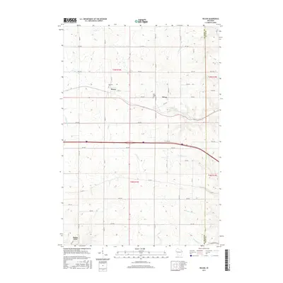
2015 Map of Wilson
USGS Topo · Published 2015About this map
Hersey and Wilson sit as primary focal points in this western Wisconsin landscape, situated along a transportation corridor that divides the drainage basins of the region. The terrain is defined by a dense network of coulees and ridges, with water moving toward the Eau Galle River in the west and several branches of Wilson Cr and N Br Gilbert Cr to the east. This 2015 survey illustrates the enduring rural infrastructure of St. Croix and Dunn counties, where section lines are strictly maintained by a grid of numbered avenues and streets.
Find a feature on this map
52 named features on this map. Tap any name to fly to it.
Don’t see what you’re looking for? This feature index may not catch every label — zoom into the map to look around manually.
Map Details
Editions of this 2015 Wilson Map
This is the sole edition of this map. No revisions or reprints were ever made.
Other maps of this area

1946 · Knapp
USGS Topo · 1:62,500

1948 · Downing
USGS Topo · 1:62,500

1949 · Knapp
USGS Topo · 1:62,500

1949 · Baldwin
USGS Topo · 1:62,500

1950 · Downing
USGS Topo · 1:62,500

1950 · Deer Park
USGS Topo · 1:62,500

1953 · Saint Paul
USGS Topo · 1:250,000

1953 · Stillwater
USGS Topo · 1:250,000

1955 · Stillwater
USGS Topo · 1:250,000

1958 · Stillwater
USGS Topo · 1:250,000