1974 Map of Wilson
USGS Topo · Published 1977About this map
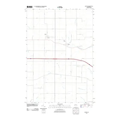
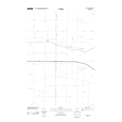
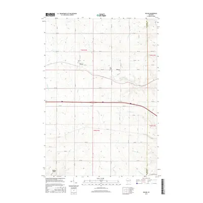
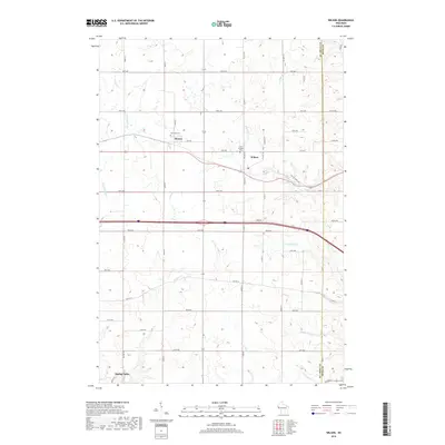
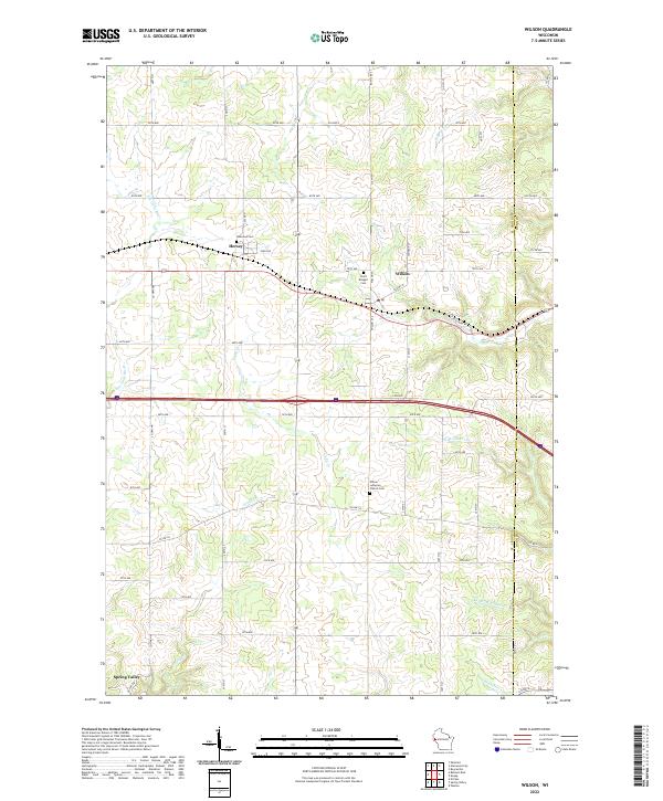
The Chicago and North Western railroad corridor anchors the small settlements of Hersey and Wilson in this mid-1970s topographical portrait of the St. Croix and Dunn County line. The landscape is a mix of agricultural plots and wooded drainages, where the Eau Galle River and Wilson Creek carve paths through the townships of Springfield and Cady. Local genealogy is well-represented by the Oakwood Cem near Hersey and St Bridget Cem further east, alongside landmarks of rural education and faith such as the Cady-Wilson Sch and Wilson Ch. Small-scale industry is evidenced by several Gravel Pits and Quarries scattered throughout the terrain, while the northern edge features recreational spaces like the Golf Course and Glen Hills County Park.
Find a feature on this map
29 named features on this map. Tap any name to fly to it.
Don’t see what you’re looking for? This feature index may not catch every label — zoom into the map to look around manually.
Map Details
Editions of this 1974 Wilson Map
This is the sole edition of this map. No revisions or reprints were ever made.
Historical Maps of Spring Valley Through Time
6 maps found