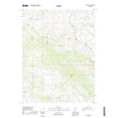
2018 Map of Wilson Valley
USGS Topo · Published 2018About this map
Cache Creek meanders through the heart of this landscape, carving a complex network of canyons and ridges where Lake, Colusa, and Yolo counties meet. The area is defined by its topographic extremes, from the high points of Grizzly Peak and Buck Mtn to the alluvial levels of Wilson Valley and Kennedy Flats. The map reveals a land utilized for ranching and managed through an intricate trail system, including the Cache Creek Ridge Trail and the Lynch Canyon Trail, which follow the natural contours of the Blue Ridge and Cache Creek Ridge.
Find a feature on this map
57 named features on this map. Tap any name to fly to it.
Don’t see what you’re looking for? This feature index may not catch every label — zoom into the map to look around manually.
Map Details
Editions of this 2018 Wilson Valley Map
This is the sole edition of this map. No revisions or reprints were ever made.
Other maps of this area

1920 · Venado
USGS Topo · 1:62,500

1924 · Bartlett Springs
USGS Topo · 1:62,500

1942 · Bartlett Springs
USGS Topo · 1:62,500

1943 · Morgan Valley
USGS Topo · 1:62,500

1944 · Bartlett Springs
USGS Topo · 1:62,500

1944 · Wilbur Springs
USGS Topo · 1:62,500

1944 · Morgan Valley
USGS Topo · 1:62,500

1945 · Lower Lake
USGS Topo · 1:62,500

1947 · Santa Rosa
USGS Topo · 1:250,000

1949 · Santa Rosa
USGS Topo · 1:250,000