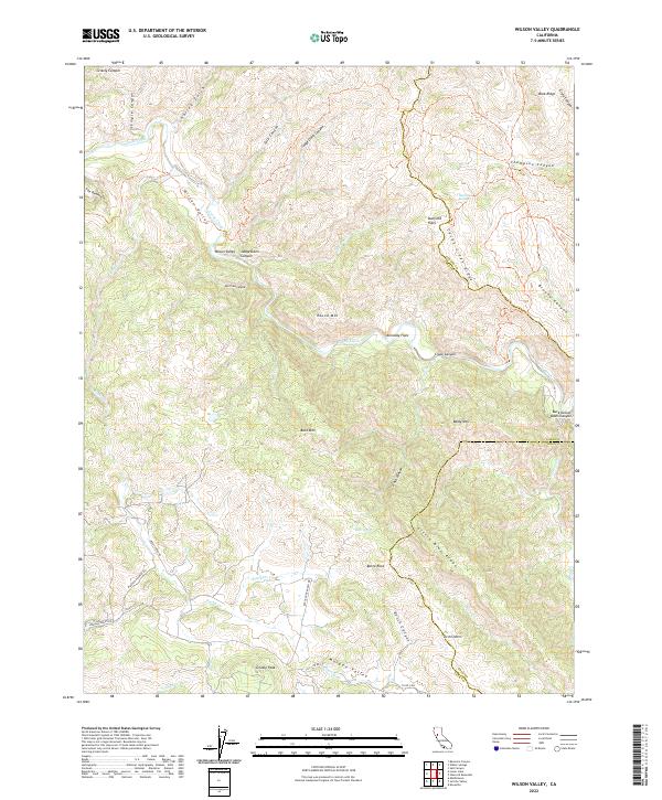
2022 Map of Wilson Valley
USGS Topo · Published 2022About this map
Wilson Valley and the surrounding drainages of Cache Creek reveal a landscape defined by sharp elevation changes and winding canyons at the intersection of Lake, Colusa, and Yolo counties. This 2022 survey details a region largely shaped by its hydrology and complex topography, where features like The Peninsula and Petrified Canyon suggest a unique geological history. The presence of several distinct flats, including Dunfield Flats and Kennedy Flats, indicates small pockets of level ground amidst the ridges.
Find a feature on this map
48 named features on this map. Tap any name to fly to it.
Don’t see what you’re looking for? This feature index may not catch every label — zoom into the map to look around manually.
Map Details
Editions of this 2022 Wilson Valley Map
This is the sole edition of this map. No revisions or reprints were ever made.
Other maps of this area

1920 · Venado
USGS Topo · 1:62,500

1924 · Bartlett Springs
USGS Topo · 1:62,500

1942 · Bartlett Springs
USGS Topo · 1:62,500

1943 · Morgan Valley
USGS Topo · 1:62,500

1944 · Bartlett Springs
USGS Topo · 1:62,500

1944 · Wilbur Springs
USGS Topo · 1:62,500

1944 · Morgan Valley
USGS Topo · 1:62,500

1945 · Lower Lake
USGS Topo · 1:62,500

1947 · Santa Rosa
USGS Topo · 1:250,000

1949 · Santa Rosa
USGS Topo · 1:250,000