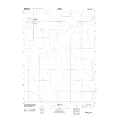
2011 Map of Wilsonville
USGS Topo · Published 2011About this map
The village of Wilsonville serves as the focal point of this 2011 survey, situated along the northern edge of the Nebraska-Kansas border. The settlement's layout reflects its development near Beaver Creek, with a street grid that includes Earl St, Furnas St, and N Railway St, the latter implying the historical importance of rail transit to this agricultural region. Essential community services are represented by the Wilsonville Post Office, while local infrastructure is defined by water management features like the Wilsonville Dam and the McCue Dam, which creates the McCue Reservoir to the southeast. Outside the village center, the landscape is largely defined by a regular grid of section roads, including Road 412 and Road 417, which cut across a terrain drained by watercourses such as Wildcat Creek.
Find a feature on this map
18 named features on this map. Tap any name to fly to it.
Don’t see what you’re looking for? This feature index may not catch every label — zoom into the map to look around manually.
Map Details
Editions of this 2011 Wilsonville Map
This is the sole edition of this map. No revisions or reprints were ever made.
Other maps of this area

1893 · Norton
USGS Topo · 1:125,000

1896 · Arapahoe
USGS Topo · 1:125,000

1898 · Arapahoe
USGS Topo · 1:125,000

1951 · Norton
USGS Topo · 1:62,500

1951 · Norcatur
USGS Topo · 1:62,500

1954 · McCook
USGS Topo · 1:250,000

1954 · Goodland
USGS Topo · 1:250,000

1955 · Grand Island
USGS Topo · 1:250,000

1955 · Beloit
USGS Topo · 1:250,000

1956 · Goodland
USGS Topo · 1:250,000