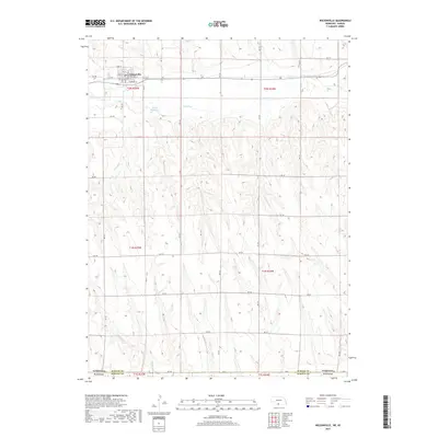
2017 Map of Wilsonville
USGS Topo · Published 2017About this map
Wilsonville sits in the northern reaches of this borderlands survey, where the grid of Furnas County, Nebraska, meets the state line of Kansas. The village is tightly organized around a central street plan including Earl St, Iva St, and Raymond St, with N Railway St running alongside the transit corridor that historically defined the town's growth. The surrounding landscape transitions from the developed townsite into a series of deep drainage patterns cut by Beaver Creek and Wildcat Creek. To the east of the town, McCue Reservoir serves as a significant water feature in a terrain otherwise defined by the geometric precision of the Public Land Survey System. The map documents the persistent rural infrastructure of the region, anchored by an extensive network of secondary routes such as Rd 702 and Rd A that facilitate movement across the state boundary into Norton County.
Find a feature on this map
34 named features on this map. Tap any name to fly to it.
Don’t see what you’re looking for? This feature index may not catch every label — zoom into the map to look around manually.
Map Details
Editions of this 2017 Wilsonville Map
This is the sole edition of this map. No revisions or reprints were ever made.
Other maps of this area

1893 · Norton
USGS Topo · 1:125,000

1896 · Arapahoe
USGS Topo · 1:125,000

1898 · Arapahoe
USGS Topo · 1:125,000

1951 · Norton
USGS Topo · 1:62,500

1951 · Norcatur
USGS Topo · 1:62,500

1954 · McCook
USGS Topo · 1:250,000

1954 · Goodland
USGS Topo · 1:250,000

1955 · Grand Island
USGS Topo · 1:250,000

1955 · Beloit
USGS Topo · 1:250,000

1956 · Goodland
USGS Topo · 1:250,000